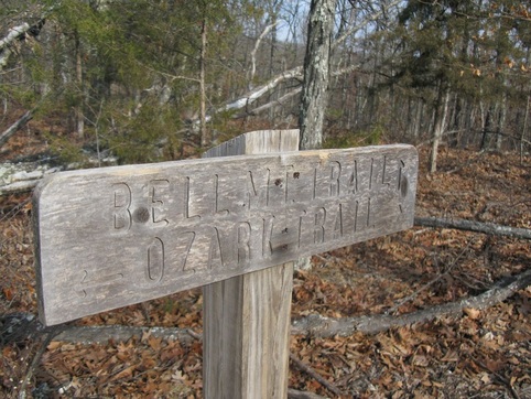
Taum Sauk Section- Hwy. A to Hwy. N
This scenic 19 mile section climbs onto Bell Mountain for 6 miles of scenic hiking with lots of great glade views. It descends to and crosses Padfield Branch before climbing up to Goggins Mountain. After 5 miles on Goggins, they trail descends to Walker Branch and makes its way to the Hwy. N crossing. From the road, the trail goes 2 miles to the Black River. If water levels are low enough, cross the river and climb onto bluffs above the river. The trail descends 2 miles through the Scour back to the Hwy. N trailhead.
Length- about 20 miles, point to point
Scenery: 5 Stars
Difficulty- Strenous, very rugged and hilly
Length- about 20 miles, point to point
Scenery: 5 Stars
Difficulty- Strenous, very rugged and hilly
This part of the Ozark Trail makes a great backpacking trip. Splitting the trail into 3 days makes for a good trip. It could be done in two days, but the trail is very rugged and the scenery is amazing. Slowing down and spending 3 days hiking this section is perfect. However the section only has a few reliable water sources- Padfield Branch, the Black River, and the Scour. That nicely divides the hike into three clear sections- the 6 mile stretch over Bell Mountain from Hwy. A to Padfield Branch, the rugged 10 mile section from Padfield over Goggins to the Black River, and the 4 miles from the Black River to Hwy. N. There are great campsites right where the trail crosses Padfield Branch for one night. Camping near the Black River is a little more difficult but sites can be found nearby. You will have to go off the trail a little ways to find a clear site for a tent. Remember to observe MO state park rules for backcountry camping- 100 feet off the trail and no fires unless in a designated backpacking site.

map courtesy of the OTA. High-resolution map here- http://www.ozarktrail.com/maps/detailed/TaumSauk1mile4to16.jpg
Once you arrive at the trailhead, you can register in the TH box, but when I was there the cards hadn't been picked up in two weeks so it's better to rely on someone at home to know your plans.
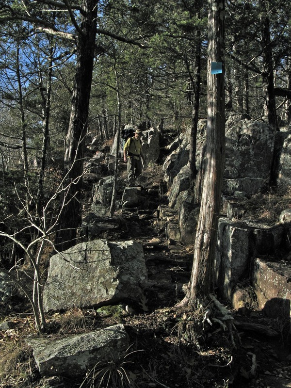
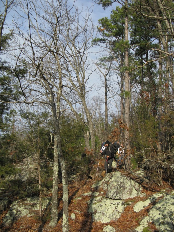
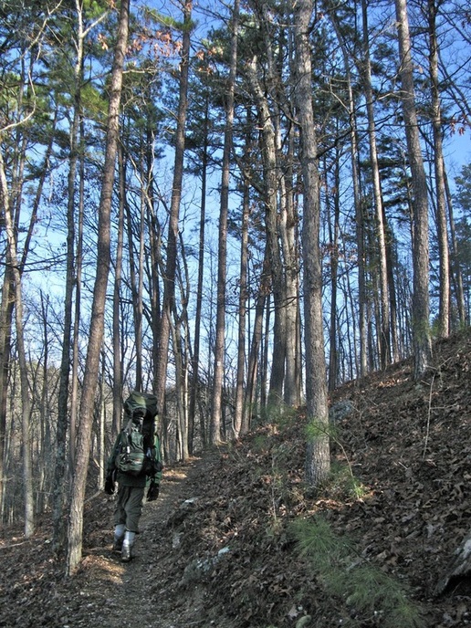
From the trailhead, the trail goes north out of the parking lot and crosses Hwy. A about 200 yards north of the trailhead. The trail immediatly begins a big climb through the forest. The first half mile has some rocky switchbacks and steep parts.
From the trailhead, the trail goes north out of the parking lot and crosses Hwy. A about 200 yards north of the trailhead. The trail immediatly begins a big climb through the forest. The first half mile has some rocky switchbacks and steep parts.
After gaining about 400 feet, the trail levels off in a nice glade area. There are some little views of the hills and the Ottery Creek valley. The next mile is a gentle walk going in and out of glades with frequent views through the forest and in small glades.
About a mile and a half from the trailhead, the trail kicks up again for another, smaller climb.
About a mile and a half from the trailhead, the trail kicks up again for another, smaller climb.
About 1.8 miles from the trailhead, you come to the junction with the Bell Mountain Trail. The OT continues straight and the Bell Mountain Trail goes to the left.
An alternate route is to start at the Bell Mountain trailhead on Ft. 12 trailhead and hike over the summit of Bell Mountain on your way to this junction.
An alternate route is to start at the Bell Mountain trailhead on Ft. 12 trailhead and hike over the summit of Bell Mountain on your way to this junction.
From the junction, the trail heads downhill 200 vertical feet to a saddle connecting the northern, taller half of Bell Mountain to the southern half of Bell Mountain. Along the way, you get some nice views to the north.
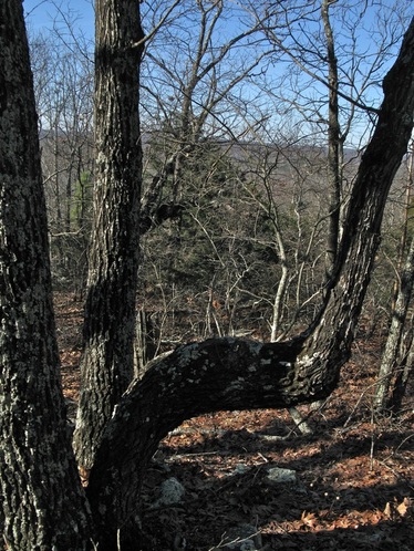
The trail climbs up from the junction and passes a sign telling of wind storm damage from the May 8, 2008 deracho that swept through the area and closed the trail for nearly 3 years with massive areas of tree blowdown. See pics of the damage farther down the page.
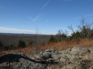
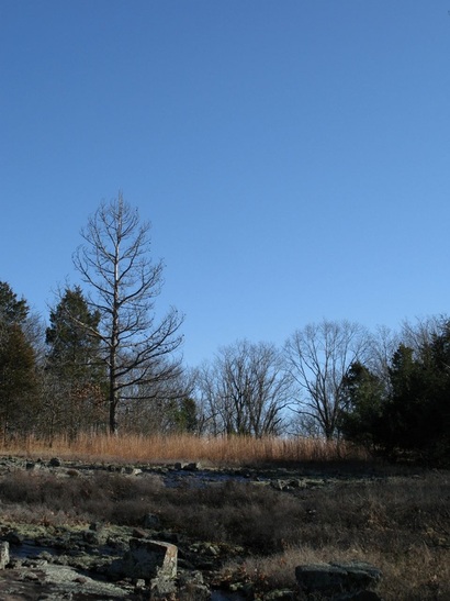
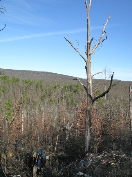
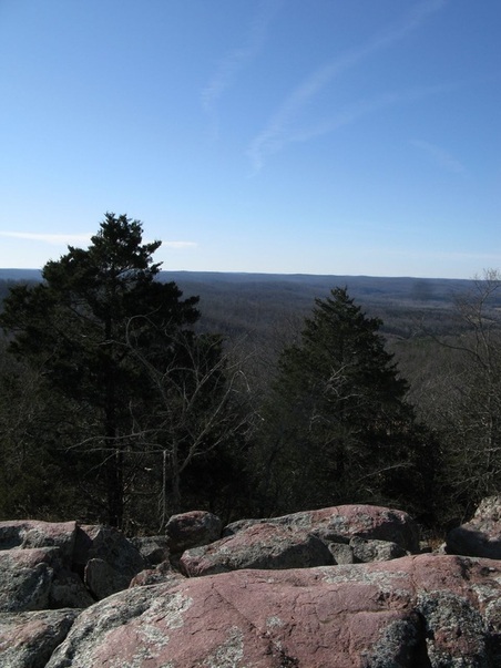
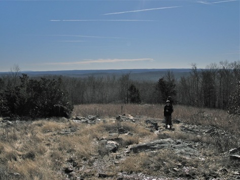
About 3.5 miles from the trailhead, the trail pops into a big glade with great views to the south and west. This is a great spot for a break or even to camp. There's a nice pine grove at the top of the glade for a tent or two. You'd see a great sunset from here.
This would be a great campsite.
It's almost a Smokey Mountain view
The trail continues through the glade for a while and re-enters the forest.
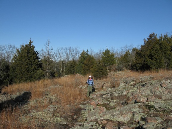
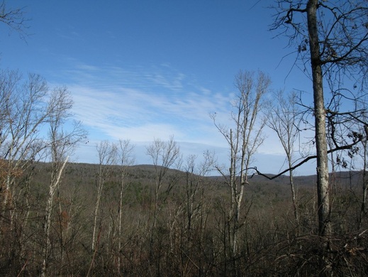
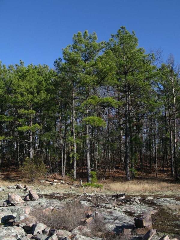
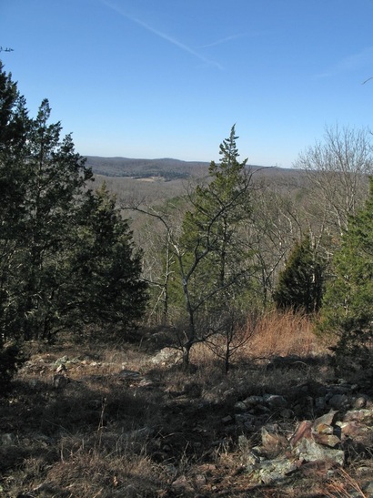
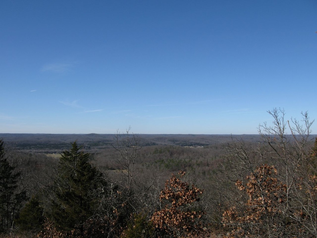
The trail runs along the ridge of Bell Mountain for another 2 miles. Along the way, you pass through many glades. Many of them have great views and others are just openings in the forest.
|
After reaching the highest point on south bell at 1500 feet, the trail begins a long descent to Padfield Branch.
|
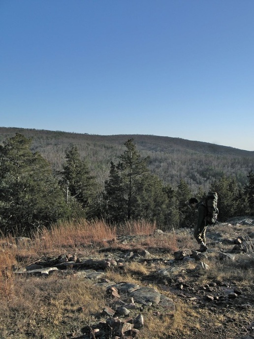
As the trail descends farther, there are some great views over towards Goggins Mountain.
|
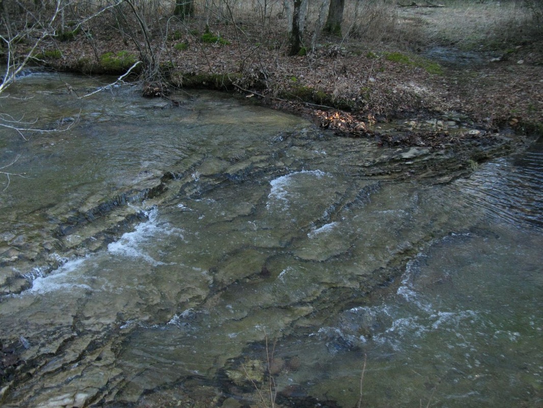
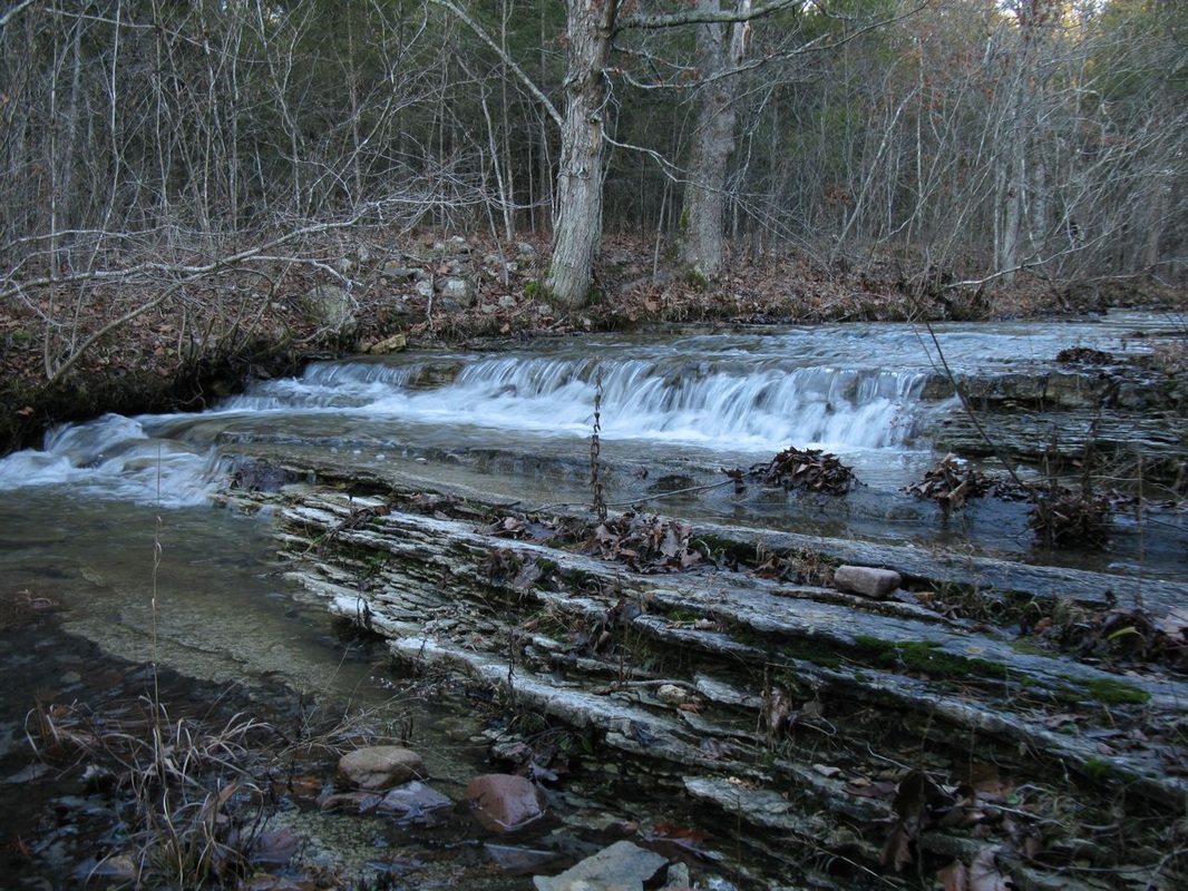
The trail crosses Padfield Branch at a pretty good spot. The crossing right at the trail can be a little tricky in high water. In that case, head upstream a ways to an easier crossing.
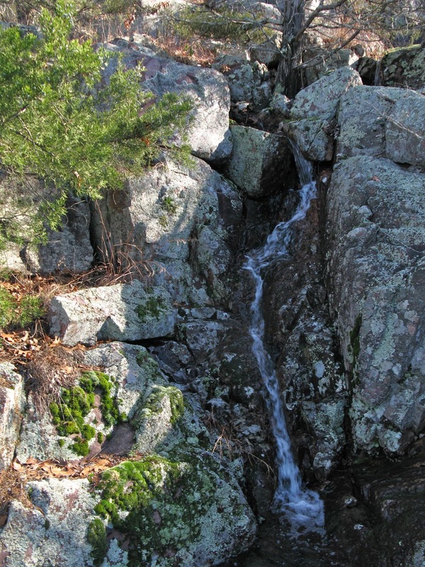
Right below the trail crossing, there's a nice little waterfall. |
|
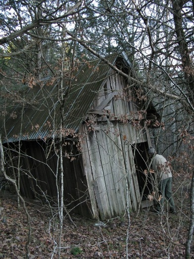
Close to where the trail crosses, there's the ruins of a large house that collasped. The smaller outbuilding is still standing though it's leaning quite a bit.
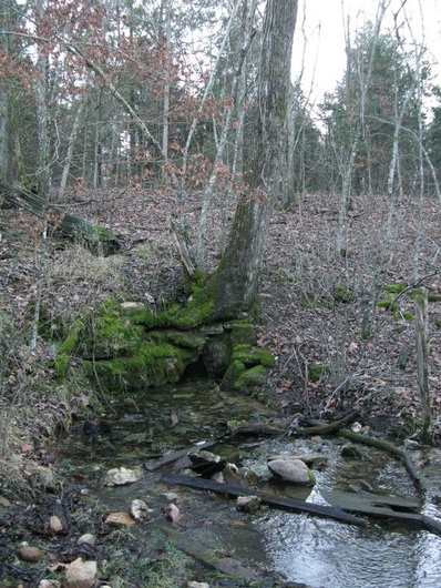
If you go behind the house, you'll find a small spring bubbling out of a hole in the hillside. This a good water source if you camp nearby and is probably even cleaner than the creek.
If you go behind the house, you'll find a small spring bubbling out of a hole in the hillside. This a good water source if you camp nearby and is probably even cleaner than the creek.
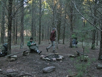
There's a really nice campsite near where the trail crosses the creek. When you continue on the OT about 100 yards and pass the old house, you'll see a trail going to the right. Take a right and you'll find a great site with benches and a fire ring in the middle of a big cedar grove. You're just a minute away from the OT and the spring. You can even hear Padfield Branch babbling away nearby.

part 2 map from the OTA. High-resolution map here- http://www.ozarktrail.com/maps/detailed/TaumSauk2mile16to32.jpg
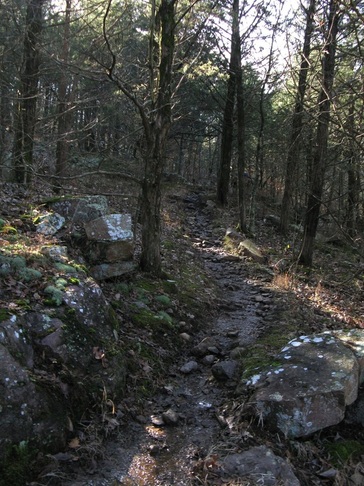
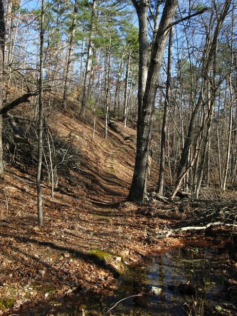
The trail follows an old jeep road for half a mile next to Padfield Branch then starts a big climb up Goggins Mountain.
The trail climbs steeply through a rocky glade area and it has some great views back towards Bell Mountain.
About two miles from the creek crossing, the trail begins a steep descent that loses 200 feet. The descent ends at a really neat rocky area that has waterfalls after rain.
This was about 5 minutes uphill from the falls, is it a native american marker tree pointing to the falls?
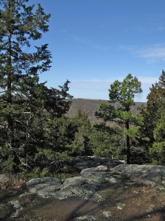
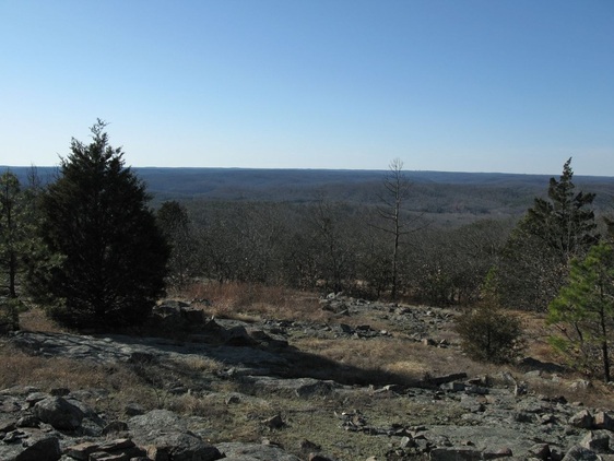
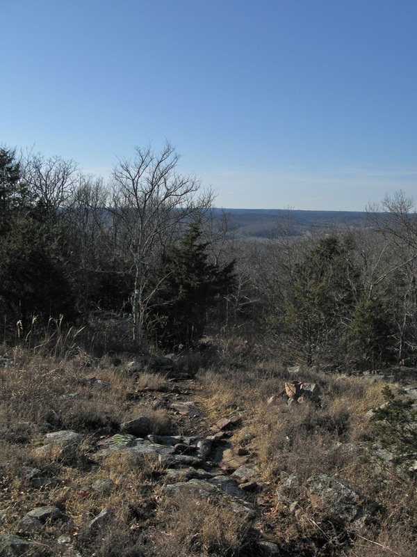
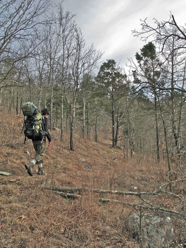
From the falls, the trail climbs 0.5 miles to the top of Goggins. The trail along Goggins Mountain is rock and rugged, but doesn't have any more big climbs. The trail passes through lots of glades with great views.
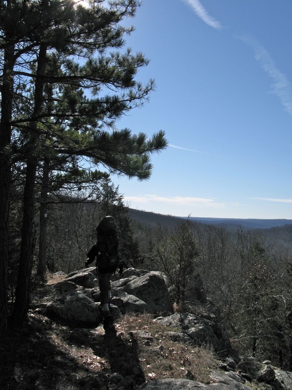
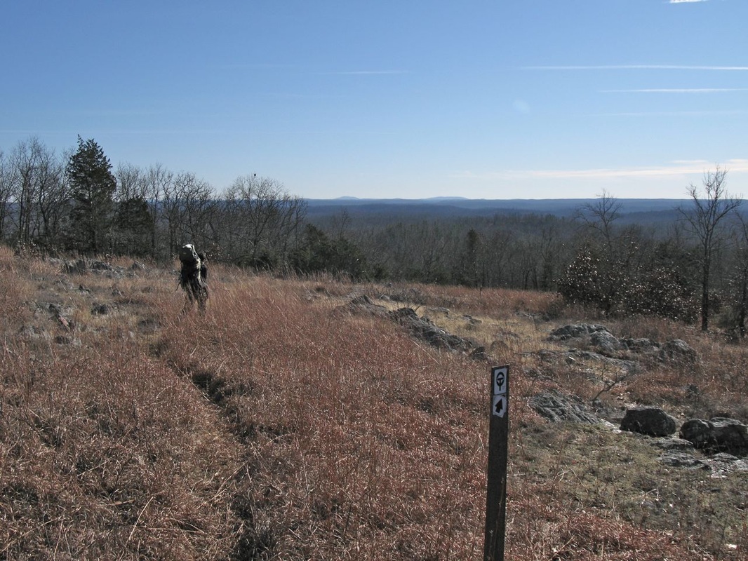
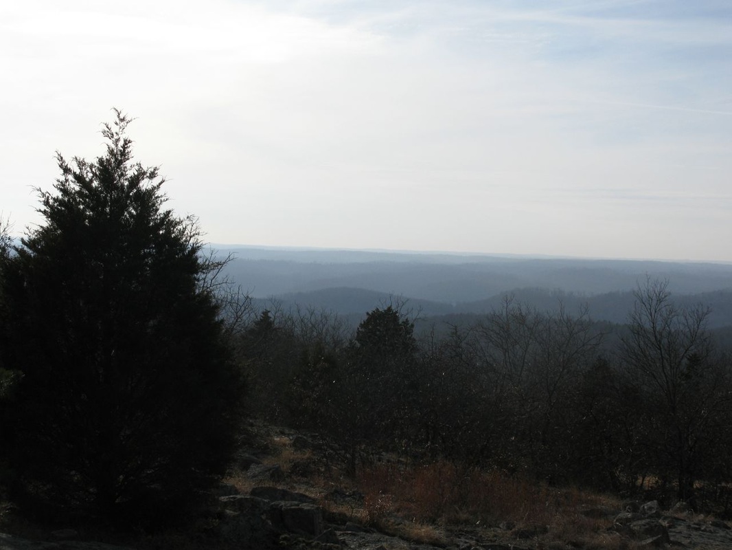
This huge glade (left and above) is marked as point B on the OTA map. It's a great spot for a break and the views are amazing. On the horizon, you can even see Stegall Mountain- 35 miles away!
That's another OT hiking destination for me, maybe in the spring!
That's another OT hiking destination for me, maybe in the spring!
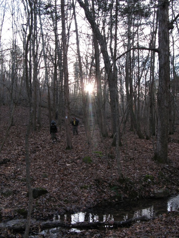
Once you descend off of Goggins Mountain, you cross Walker's Branch. This small stream is usually dry, but can have some water in the spring or after a rain.
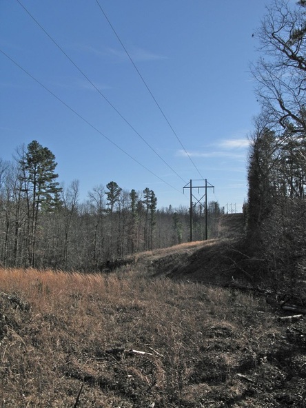
Soon after crossing Walker Branch, the trail crosses under powerlines. The trail continues directly across the powerline cut so you can't really get lost.
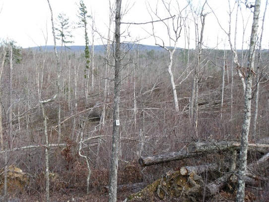
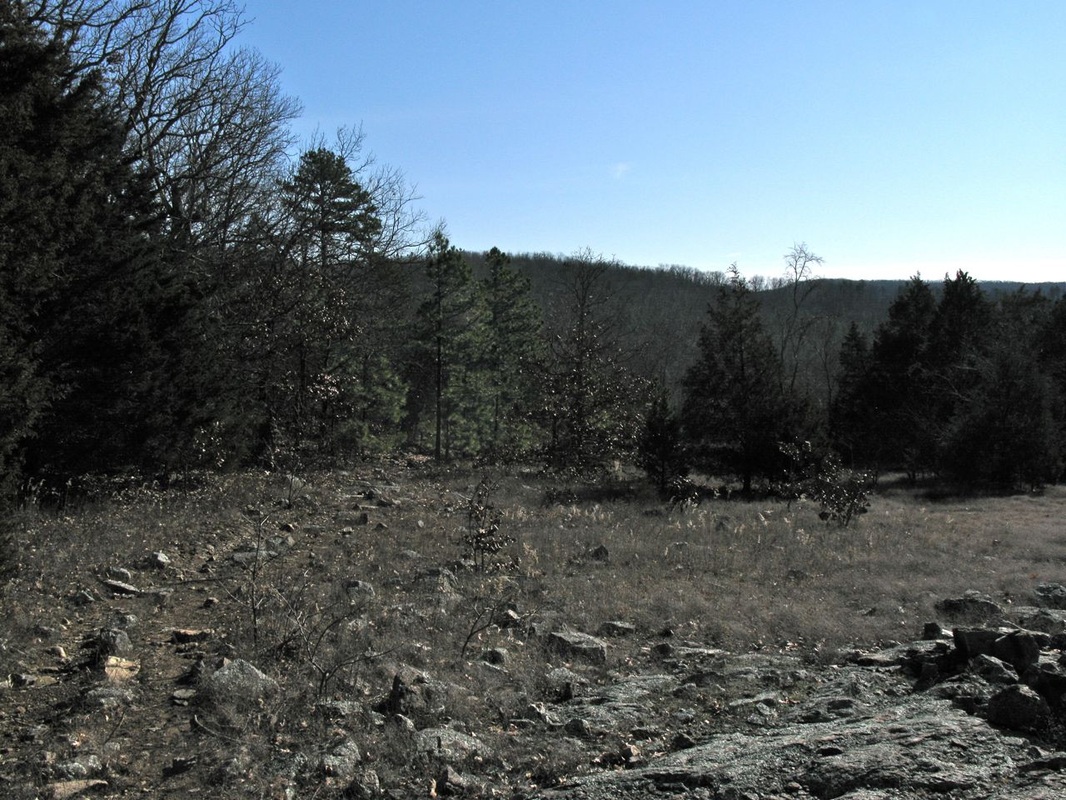
The hike from the end of Goggins Mountain to Hwy. N goes through a forest that was severly damaged by the 2008 storm. You can walk for over 10 minutes through a forest that is almost completely blown down and then enter a perfectly fine forest. It's amazing to see the power of the wind when it blew down the trees. Equally amazing is all the hard work the OTA sawers put in to clear the trail. They get a big thank you for reopening the trail to us hikers!
|
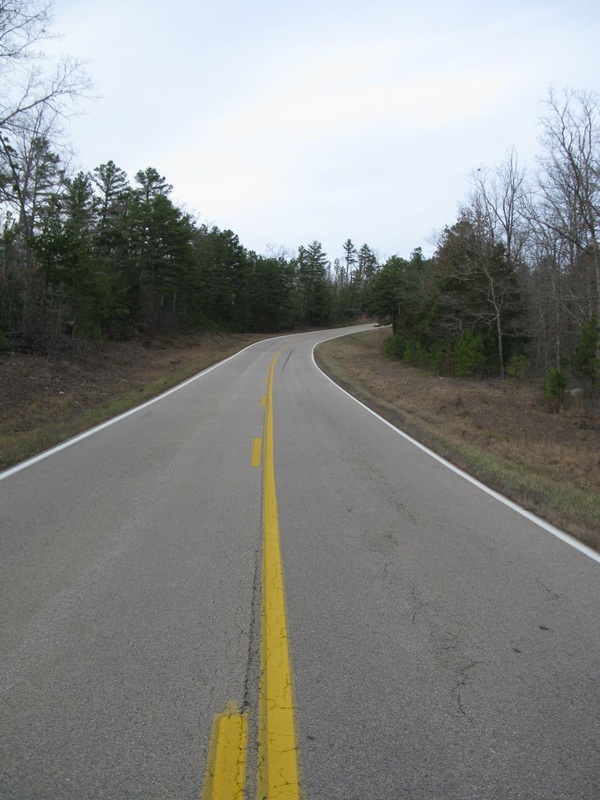
Hwy. N crossing, watch for cars and be careful while crossing.
|
|
The trail steadily climbs through a bare, yet pretty forest.
|
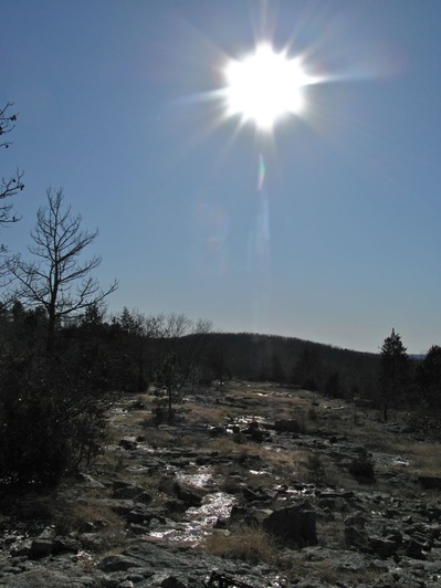
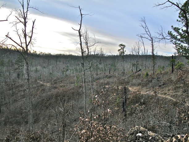
Once on top of the hill, the trail follows the ridge crest on a rocky path. This whole section has great views and then the trail drops off the ridge. You re-enter the forest that was not damaged and it's a very different feeling than walking through the open, blown-down forest you walked through for the previous 3 miles. The long downhill stretch curves along in a hollow following a creek to the Black River.
|
|
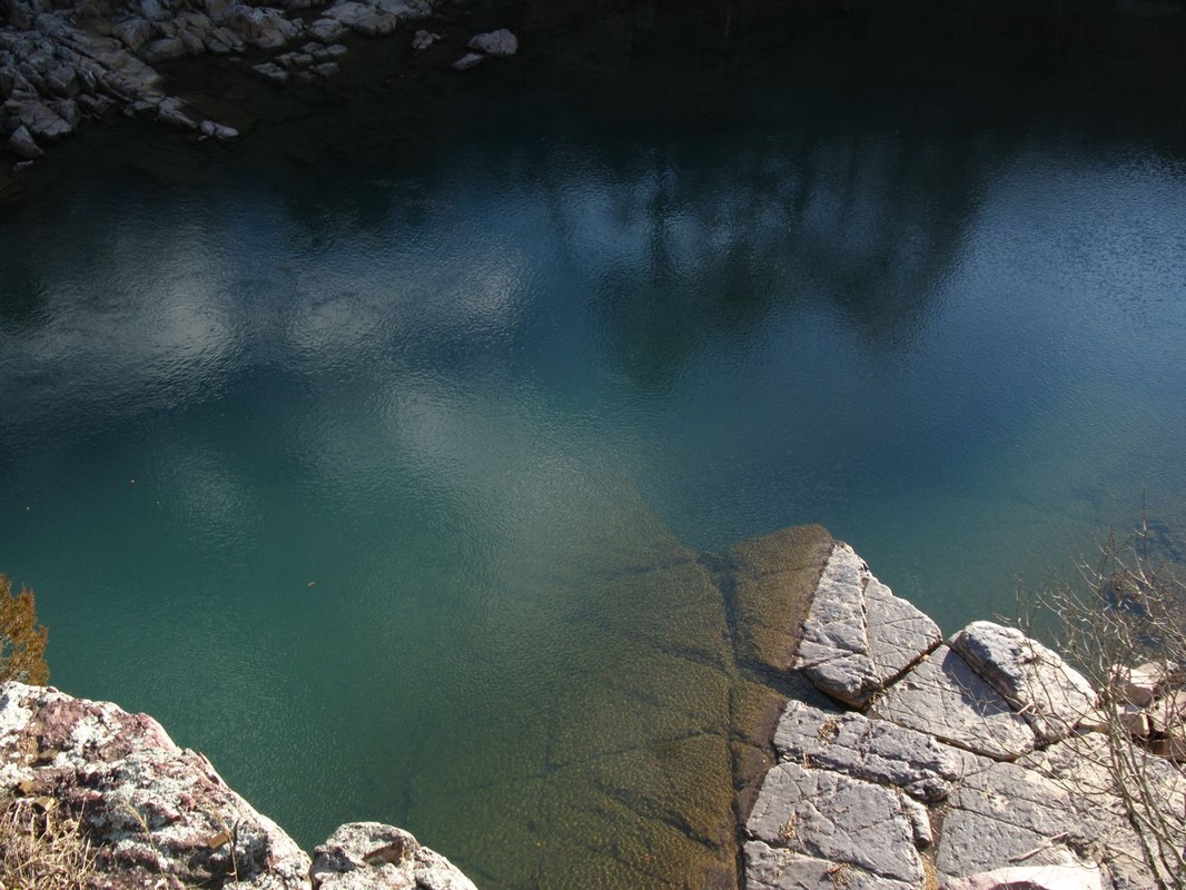
The trail crosses the small creek one more time and then makes a short climb over a little hump to join the Shut-ins Trail in Johnson Shut-ins State Park. After the trails merge, they go down a rocky hill to the river. From here, the OT crosses the Black River on a set of boulders.
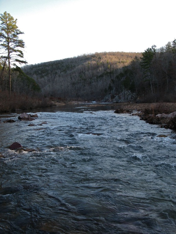
As you can see in the above picture, the boulders aren't always above water. If that's the case, you have a two options. First, you can head upstream 100- 200 yards to where the river widens and slows down. Take off your boots and socks and wade across. The water will be knee to thigh deep and pretty cold. While that's not much fun in winter, you could do it in the summer.
The second option is to continue you hike up to the Shut-ins Trail to the main part of Johnson Shut-ins State Park. From there, follow the wide gravel trails and the paved roads to Hwy. N. Take a right on the highway and walk for half a mile to the Hwy. N trailhead where you can pick up the spur to the OT.
The second option is to continue you hike up to the Shut-ins Trail to the main part of Johnson Shut-ins State Park. From there, follow the wide gravel trails and the paved roads to Hwy. N. Take a right on the highway and walk for half a mile to the Hwy. N trailhead where you can pick up the spur to the OT.
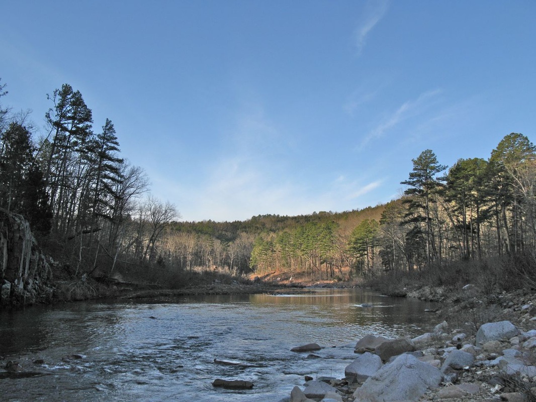
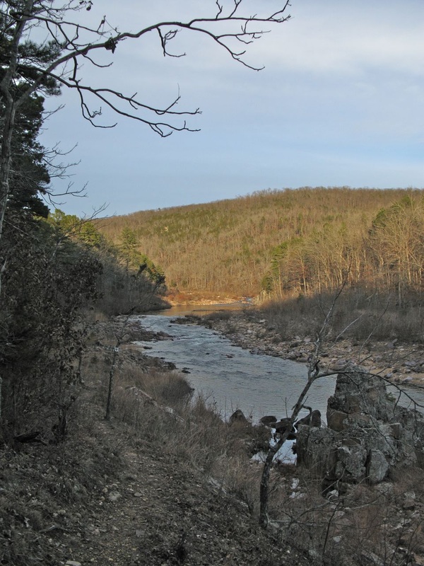
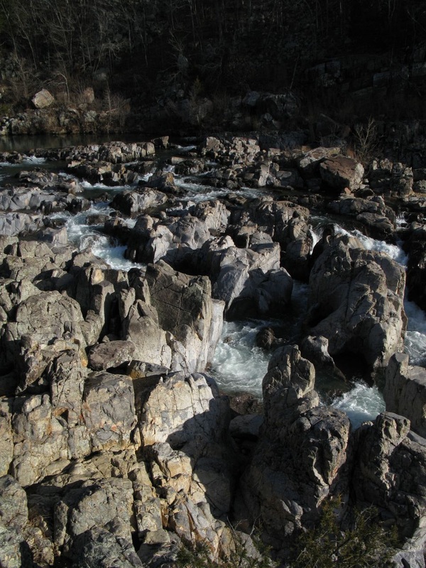
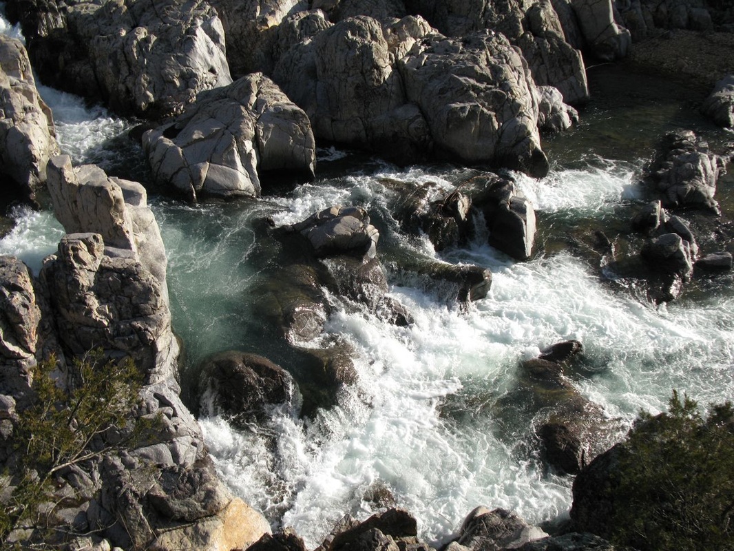
If you do make it across, the trail climbs onto bluffs above the Black River and continues along the mountainside. The trail crosses the Scour left from the Taum Sauk Reservior breaking- pic- and reaches a junction. If you continue straight, you'll go on the OT to Taum Sauk Mountain. Taking a left will take you down to the Hwy. N trailhead.
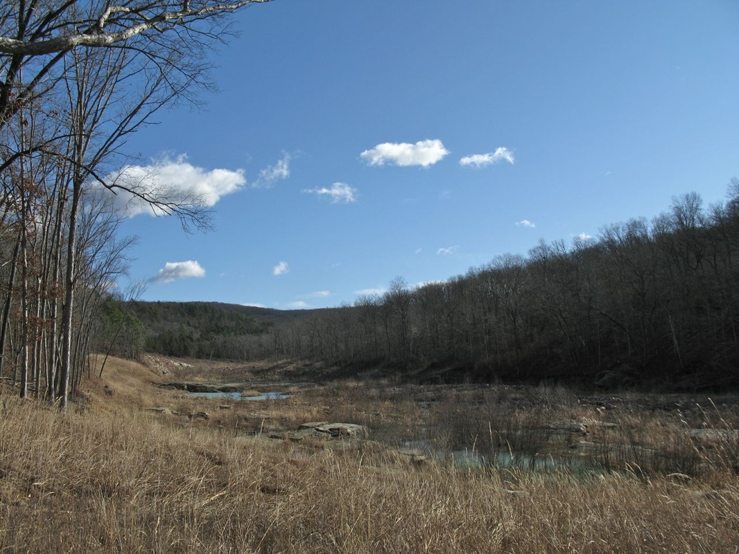
Looking up the scour close to the trailhead
If the river is too high to cross, don't worry. You still get a nice walk back to your car. The shut-ins at Johnson Shut-ins are very impressive and the bluff views from above are really good too.