The Taum Sauk Section
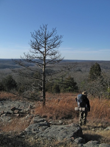
The Taum Sauk Section of the Ozark Trail is one of the most scenic and most rugged sections on the whole Ozark Trail. The sections stretches 35 miles from the Hwy 21 trailhead to the Hwy. A trailhead for Bell Mountain Wilderness Area. In those 35 miles, the OT climbs Missouri's tallest peak, Taum Sauk Mountain, visits its tallest waterfall, Mina Sauk Falls, and travels for miles along Proffit, Goggins, and Bell Mountain with spectacular glade views across rugged Ozark hills.
The Taum Sauk Section is typically divided up into three smaller sections-
The Taum Sauk Section is typically divided up into three smaller sections-
- Hwy. 21 to Taum Sauk Mountain- this 6 mile section climbs through glades and forests from Claybaugh Creek to the summit plateau of Taum Sauk
- Taum Sauk Mountain to Hwy. N- this 12 mile sections starts atop Taum Sauk Mountain before descending to Mina Sauk Falls. The trail falls Taum Sauk Creek and passes Devil's Tollgate before climbing onto. Proffit Mountain. The rest of the trail follows high ridges through scenic glades on the way to Johnson Shut-ins and the Scour.
- Hwy. N to Bell Mountain/ Hwy. A- This 19 mile section is a scenic hike up the scour, crossing the Black River and Hwy. N before climbing onto Goggins Mountain for 5 miles of glades and views. The trail descends into Padfield Branch before climbing onto Bell Mountain for 6 miles of ridge walking before getting to Hwy. A.
Trailheads
Below is a list of trailheads on the Taum Sauk Section. Look on the OTA website, here, for specific directions.
- Hwy. A
- Hwy. N
- Taum Sauk Mountain State Park
- Russell Mountain
- Hwy. 21
Maps
Maps can be found on each of the detailed segment pages.
