Mt. Bierstadt
Overview
Mt. Bierstadt is one of Colorado's 58 14ers. It is one of the easiest 14ers to climb, and is located in the Mt. Evans Wilderness Area. The standard route is easy hiking for 3.5 miles, the last 1/4 mile is easy Class 2 scrambling to the 14,060 ft. summit.
Scenery: 5 Stars
Difficulty: Moderatly Hard
Length: 7.5 miles with 2,800 ft of elevation gain
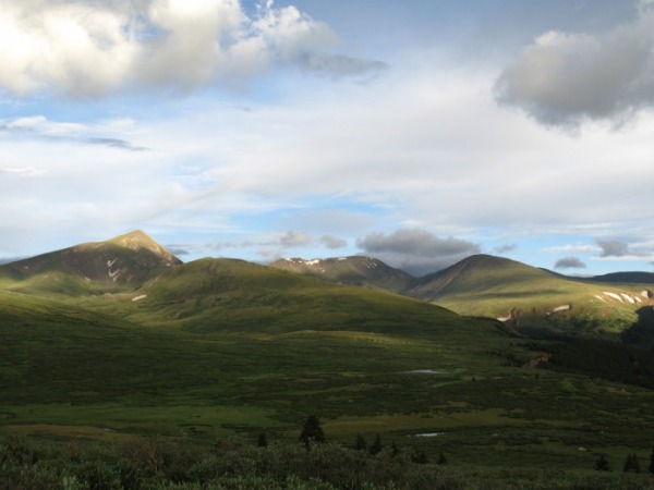
Mt. Bierstadt from the Trailhead
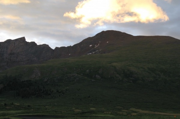
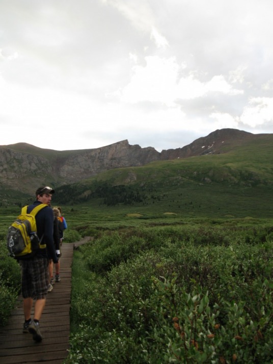
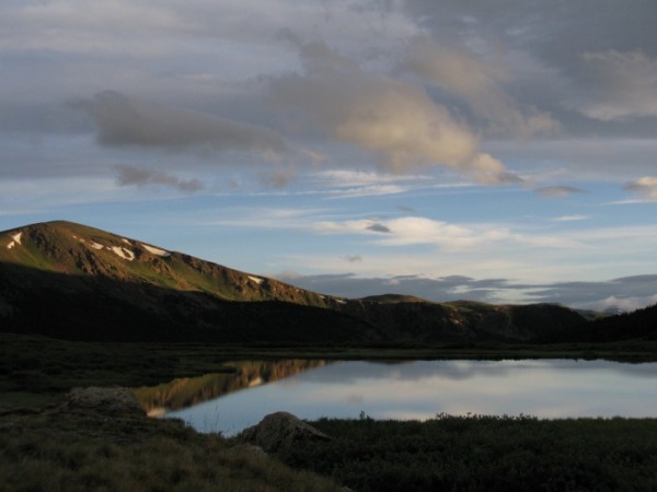
From the trailhead, Mt. Bierstadt towers to the East. It is 2.5 miles away as the crow flies, but is 3.75 trail miles away. The trail descends down 200 feet through the willows. Before 2000, these willows had no boardwalk and this stop many people from climbing Mt. Bierstadt. Now there are very nice boarwalks high above most muddy section. The trail soon crosses Scott Gomer Creek. Just before crossing the creek, you get some good views of the small lakes to the north. Soon after the beginning of your hike, you enter the Mount Evans Wilderness Area.
After the creek crossing, the trail switchbacks up to a broad shoulder of Mt. Bierstadt. You will pass many rocky outcroppings that have great views back to Guenella Pass.
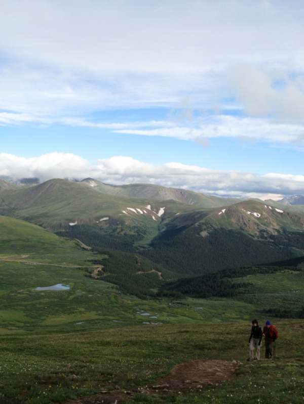
Once you are on the shoulder, the trail will rise gently up to the steep, rocky slope near 13,000 ft.
The trail heads up the rocky slope near 13,000 ft., and you get great views towards Mt. Spaulding and many other peaks.
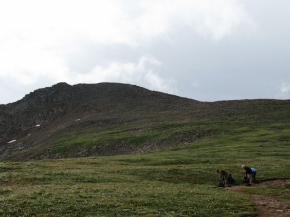
Summit Ridge
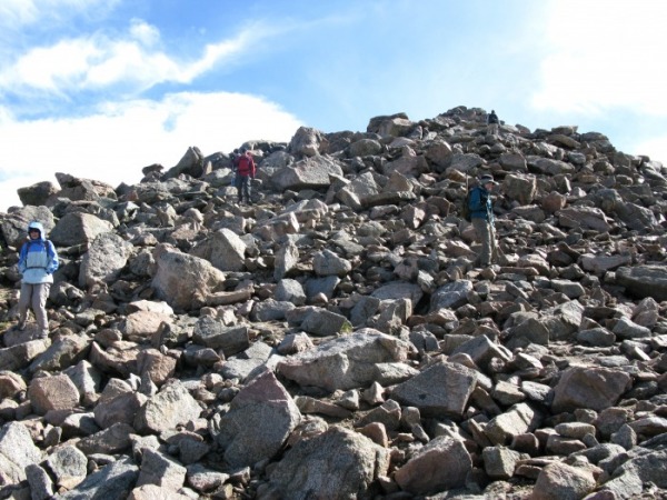
Soon the trail almosts disappears into the boulders. Follow the faint trail to the ridge crest. Follow the Class 2 ridge up 250 ft. in 1/4 of a mile. The summit is 14,060 ft. high.
Route Description from 14ers.com
Trip Reports from 14ers.com
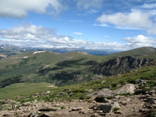
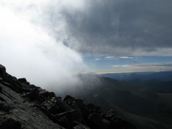
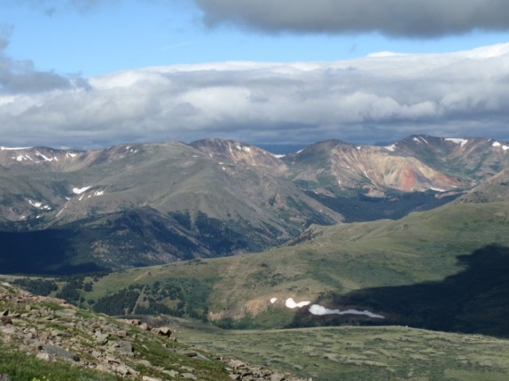
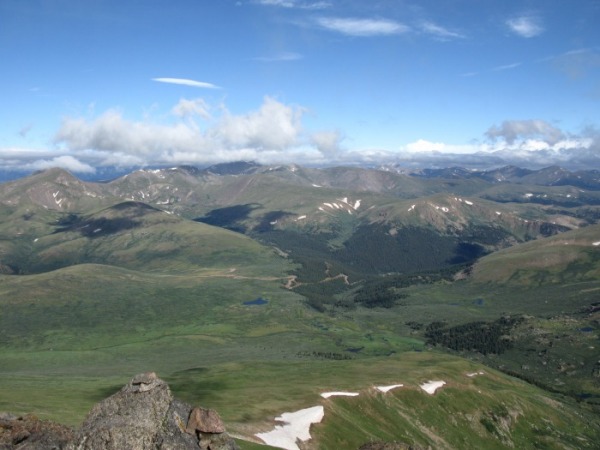
Summit Panorama from 14ers.com
