Whispering Pine Trail
Many people in Missouri think Hawn is one the prettiest state parks in Missouri. Helen Coffer Hawn, a teacher in nearby St. Genevieve donated much of this scenic 5,000 acre park to the State Park system. Hawn is a beautiful landscape of rugged shut-in creeks, remote knobs, and piney ridges. The ten mile Whispering Pine Trail is one of the best backpacking trails in the whole state of Missouri.
Scenery: 4 Stars
Difficulty: Moderately Hard
Length: 6 Mile North Loop, 4 Mile South Loop, 10 Miles for the whole trail.
Pickle Creek Trail
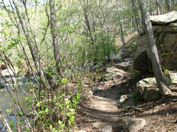
The true Whispering Pine Trail starts in the east end of the picnic area and climbs on top of the bluffs above the Pickle Creek. The PIckle Creek Trail follows the beautiful shut-ins along Pickle Creek. I like to follow the Pickle Creek Trail next to the scenic shut-ins. The two trails meet up after a mile.
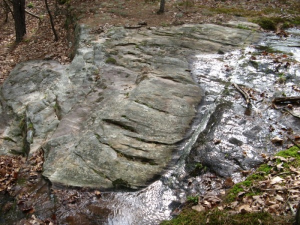
After 3/4 of a mile, the trail breaks out of the woods and crosses a rugged glade. The rocky glade starts high on the hill and slopes steeply down to waterfalls on the creek.
Whispering Pine Trail
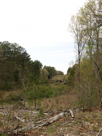
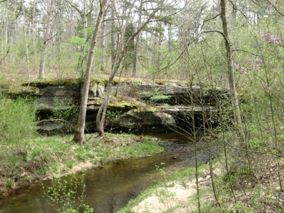
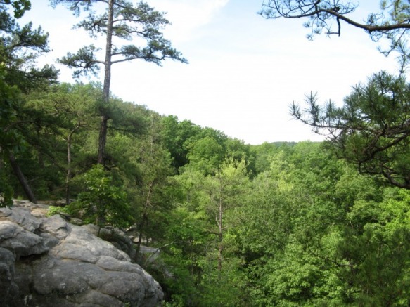
The Whispering Pine Trail quickly ascends to the top of a bluff above Pickle Creek. At times, you can see Pickle Creek below. The trail make a rugged descent and crosses Pickle Creek after a mile. The next picture is the bluff from below. The one following it is the view of the picnic area from the bluff.
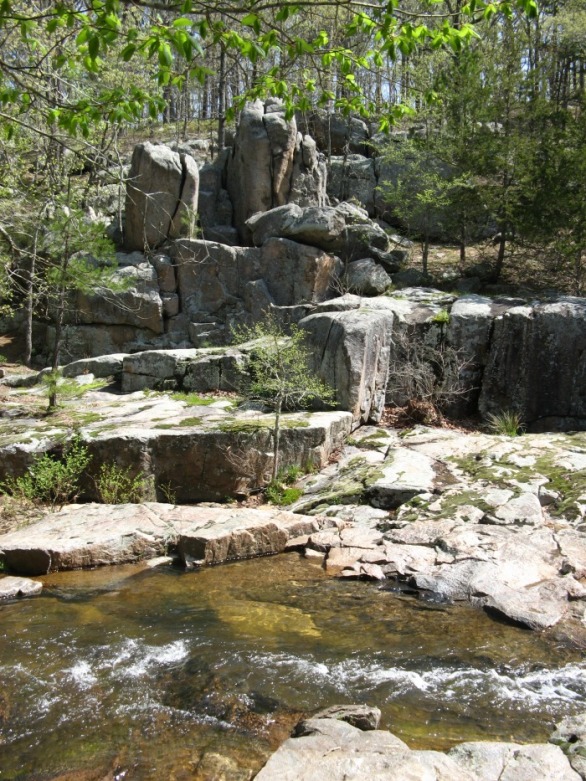
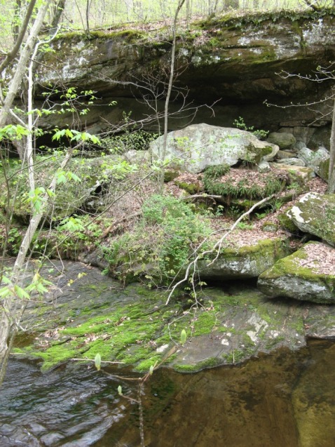
Shortly after the junction of the Pickle Creek and Whispering Pine Trail, you will come to the best waterfall on Picke Creek. There are wide rock patios next to the bubbling waterfalls with several large boulders towering over the scene.
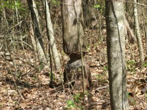 |
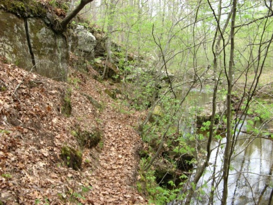
After the waterfall, Pickle Creek becomes wide and calm. You will pass through several groves of pine trees. There is an overhanging bluff half a mile from the junction. Near the bluff, the are many trees that have been chewed on by beavers. |
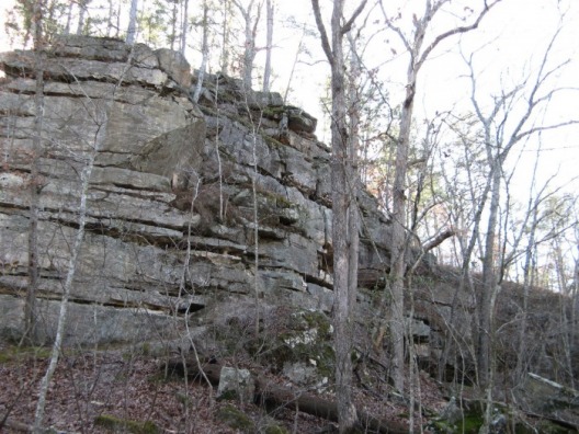
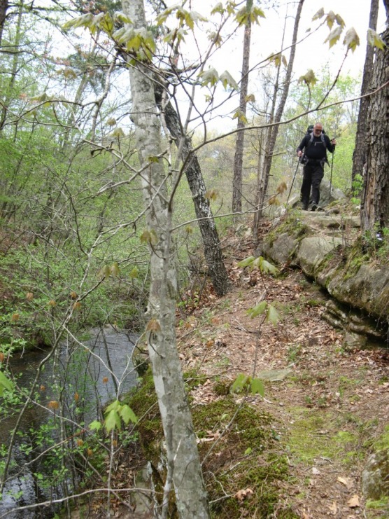
Near the two mile point, the trail crosses Pickle Creek. The crossing is easy when the creek is low. On the other side, the trail parells Pickle Creek. After a short distance, the trail makes one steep, rocky switchback and follows the top a bluff for a short distance.
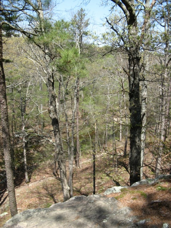
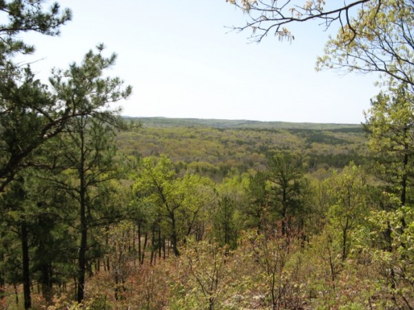
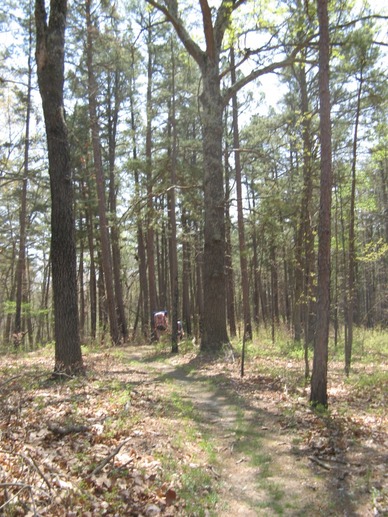
After climbing above the creek, the trail levels out for a mile long walk through pines on a broad ridgline. If you are lucky enough to be here on a windy day, you will really here the pines whispering here. After you pass the spur to the backpacking camp, the trail becomes rocky and ascends up to a knob. The trail goes around a narrow ledge in the picture and enters a glade with great views to the south.

Trail Junction
After a rugged descent from the knob, the Whispering Pine's South Loop branches off to the right. Take a right here for the ten mile option. Stay left for six miles. After the junction, the trail goes through a gentle forest before descending and crossing a small creek.

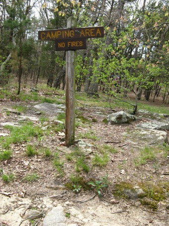
The Second Backpacking Camp
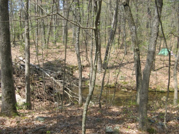
After crossing the creek, you will come to a larger creek. Along this creek, there is the second backpacking camp.
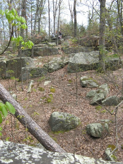
About a mile after passing the backpacking campsite, the trail enters a rugged boulderfield. Then it descends down to the River Aux Vases through a powerline cut.
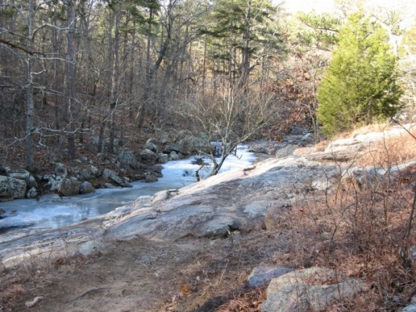
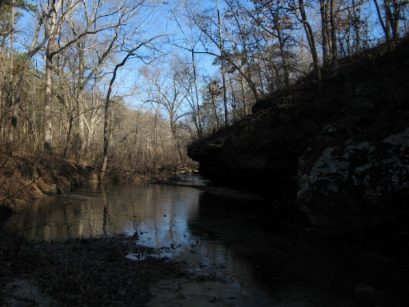
River Aux Vases
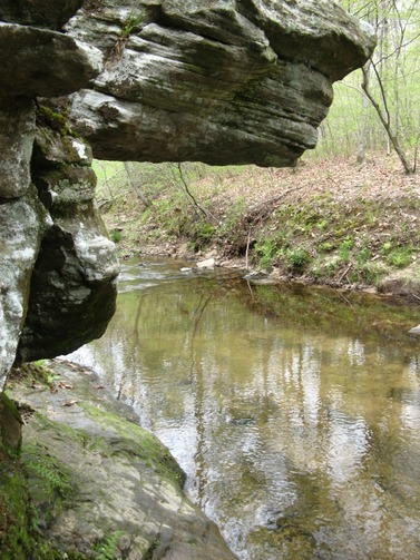
The trail drops down over several rugged steps to the River Aux Vases. The trail follows the edge of the river for a quarter of a mile to the crux of the trail. There is a large overhang that you must step beneath to continue on the trail.
Third Backpacking Camp
Soon after you leave the river, you climb over a small hill and pass the third backpacking camp.

After the third backpacking camp, the trail angles down a hill and crosses a small creek. The trail is level through a small valley next to a low bluff before climbing out of the valley. The climb ends on a old road on a broad piney ridge. After 0.75 miles you hit the North Loop again. From the junction, the trail climbs gently at first before steeply climbing over several rock slabs. Soon the trail tops out on Evans Knob.
After a short, rugged descent from Evans Knob, the trail follows a small creek down to Pickle Creek. This little creek is full of tiny waterfalls.
Right after the little creek joins Pickle Creek, the trail makes a steep, rocky, rugged ascent to a bluff overlooking Pickle Creek and the Campground. The trail meanders on the top of the bluff before making a switch backing descent to the trailhead.
