Gunnison Route
Overview
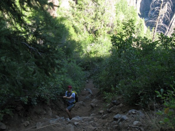
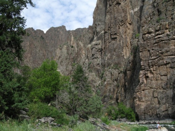
The Gunnison Route is the "easiest" way to hike to the bottom of the Black Canyon of the Gunnison. The steep route drops 1,900 ft. in less than a mile. There is a heavy metal chain about 1/3 of the way down. The route is pretty tiring but the views of the vertical canyon walls are spectacular.
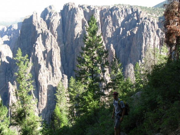
Scenery: 5 Stars
Length: 2 miles round trip with 1,800 ft. of elevation gain
Difficulty: Super Strenuous according to the NPS
The Route From Pulpit Rock
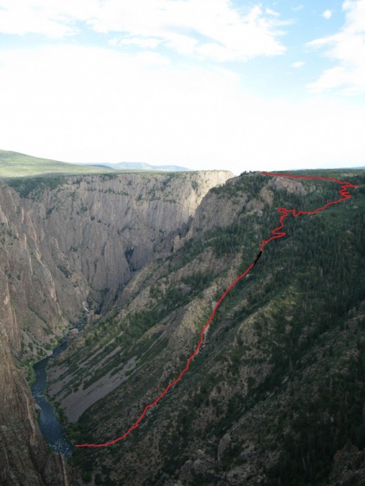
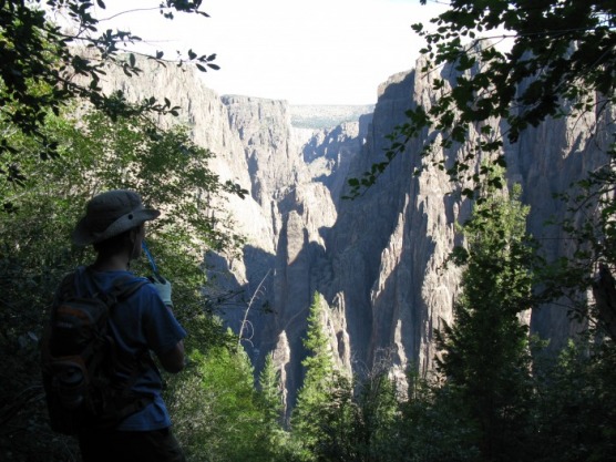
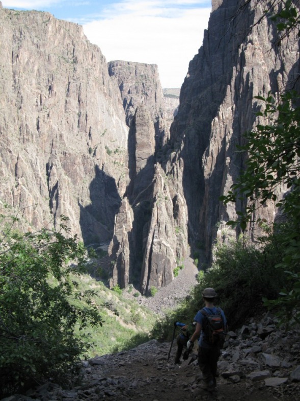
You can preview the Gunnison Route from the Pulpit Rock Overlook. The route is in red. The black line is the approximate location of the chain. The route right above the chain is a confusing maze of rocky, dusty switchbacks. All the trails lead down to the chain. Above the chain all the little trails will come together. You get several views of the canyon walls during this stretch. Below the chain, the route is all loose talus and scree. It is essential to yell rock when you dislodge rocks. The scree and talus offer many great views of the canyon's sheer north rim.
This is the view from the top of the chain. The first section of the chain is the steepest, it goes down a 15 ft. high wall of crumbling rock. The chain levels out for a short time before dropping down into another gully.