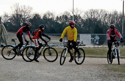
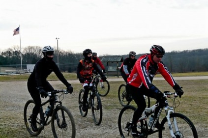
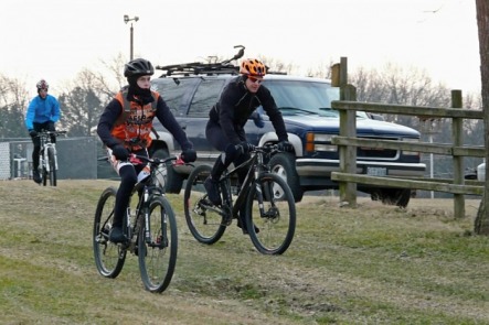
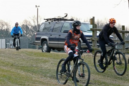
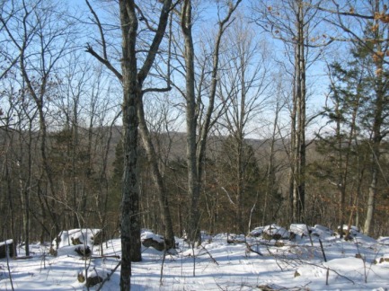
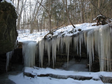
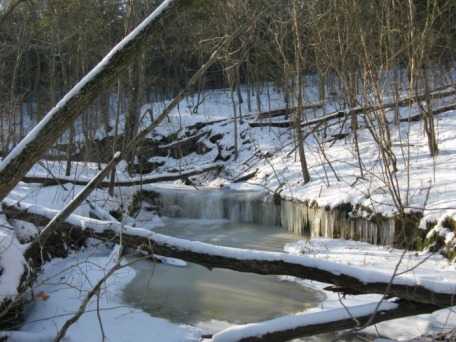
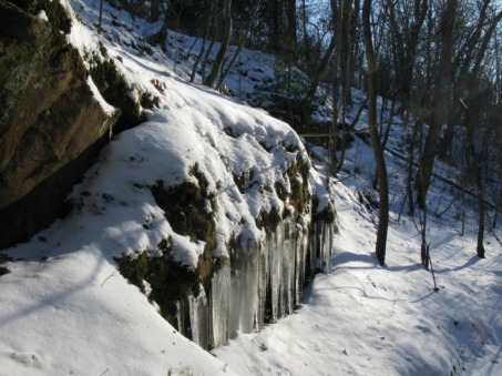
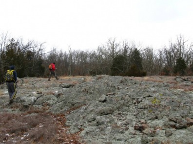
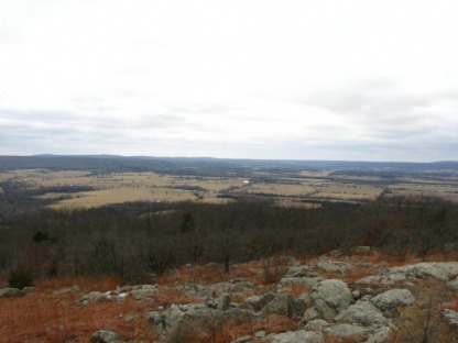
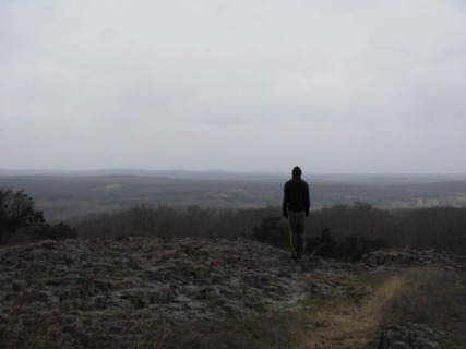
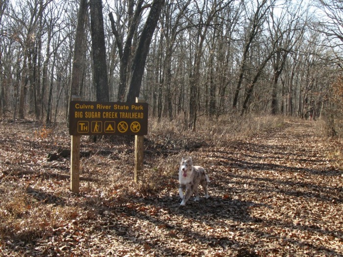
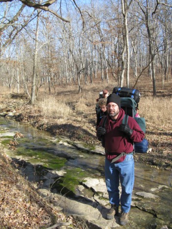
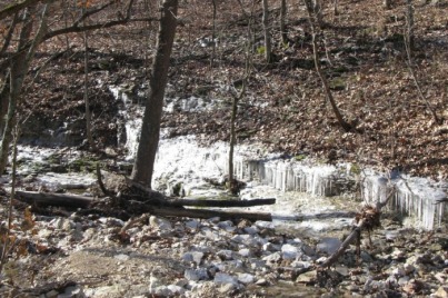
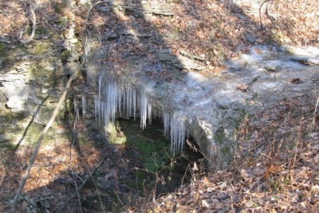
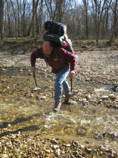
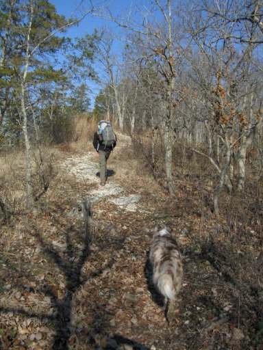
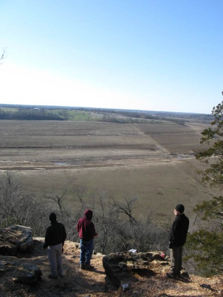
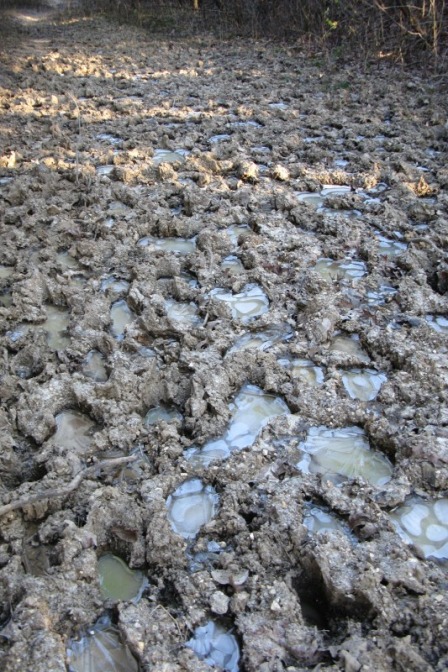
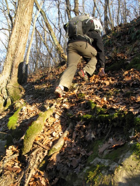
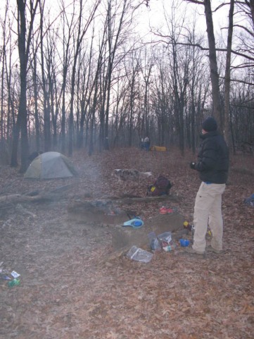
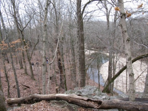
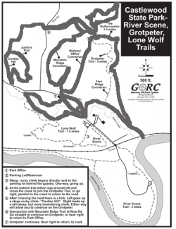
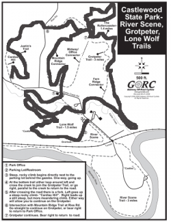
I finally found where the pictures from the ride at the Ranch on New Year's Day were. 
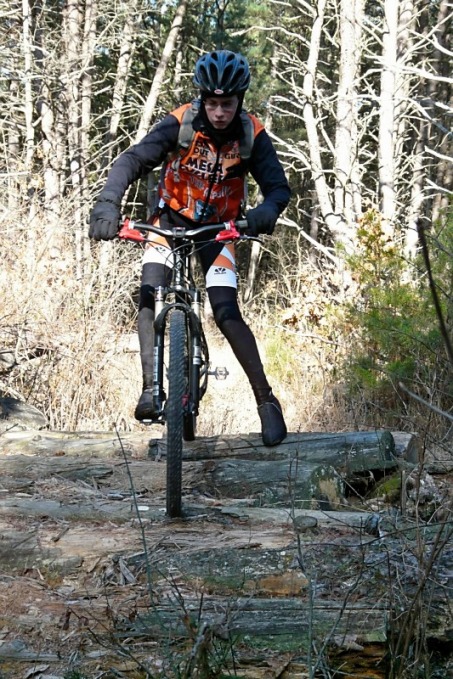
Near the end of the 14 mile loop, there was a large log pile that you rode across. That was my first time ever riding one that was big. I put a foot down, but at least I didn't crash like some people. It was pretty fun though.
Here are the United Federation of Dirt Races I'll probably do this year:
March 14: Leadbelt XC. St. Joe Park March 28: Mesa Lost Valley Luau May 8: Greensfelder June 12: Missouri State Championship. Castlewood June 27 St.Charles County Parks Aug 8: Trailblazer Blitz. Spanish Lake. Aug 22: Cyclewerx Crankfest. Cape Girardeau, MO Sept 25: Council Bluffs Here are some of the Midwest Fat Tire Series Races too: May 16th - Rhett's Run, Columbia MO July 25th - Show Me State Games, Columbia MO October 23rd - Berryman Epic, Steelville MO Tonight, Luke and I went out to Hidden Valley for some night skiing. We both had a great time. For the first time I've ever been there, the snow wasn't slush; it was a combination of nice powder and ice. The "black diamonds" were the iciest, but even those weren't too bad. The night skiing was a lot more fun than I thought. I think I liked it even better at night than during the day, and once it was dark, the lines for the lifts got a shorter. Here are two pictures.
Today, we took a hike at LaBarque Creek Conservation Area in the snow. LaBarque Creek is one of the newest conservation areas; it was just opened two or three years ago. Previously, it had been a Nature Conservancy Area, but the area was acquired by the Missouri Department of Conservation in 2006. The MDC faced the challenge of preserving the natural beauty of the area, while allowing public access. LaBarque Creek has one of the best watersheds in the entire state of Missouri. There are 42 different fish species living in LaBarque Creek. There are sandstone canyons, piney ridgetops, and cedar studded glades in the rugged hills of the area.
There were about three to six inches of powdery snow blanketing the landscape. With our recent cold spell, we were expecting lots of frozen waterfalls, and we were rewarded with tons of icicle draped cliffs. On our four mile hike, we saw no one else. We hiked most of the trail, but did a little off-trail exploration to one of my favorite places in Missouri that is a secret. On Sunday, my family and I took a hike on Buford Mountain, we did a 6 mile out and back to Bald Knob. The views from Bald Knob were beautiful. There were many other large, rugged glades on the mountain too. On the way back, we hiked up Hughes Mountain. The summit glade was even bigger than Bald Knob and very impressive. One of the smaller glades The view from Bald Knob Hughes Mountain
Today, Nate and I rode the Chubb Trail in the snow. We started from the West Tyson end and biked up to the picnic trail. The trail was wet, snowy, and fun. The woods were beautiful with their dusting of snow. The descent from the picnic table to the Steps was the snowiest with the trail being on a north facing slope. When we got to the Steps, Nate got off his bike and looked at it. He decided to ride it, and he was sucessful on his first try. The rest of the trail to the river was fast and snowy. We rode the low-water route and returned on the high-water route. Nate tried to bunnyhop an eight inch high log, but he didn't hop high enough. The climb back to the picnic table was slippery and steep, but it did warm up our cold fingers and toes a little. We descended the Flint Quarry back to the car.
Yesterday, my dad and I went to the GORC workday at Greensfelder County Park. We met at the Tower Lot at 9:00 AM. Once we arrived, I signed us in on the county park's sheet. After we ate some donuts, everyone divided up into crews. There were four crews. We were in a crew that went to the Declue Extension to do some rerouting and de-berming. Our crew was going to rerouting a big dip that went into a muddy drainage. We were rerouting the trail up the hill, and following the contours of the hillside. The hillside was the steepest that I've ever built a trail on. Some parts of our backslope were 1 to 2 ft. high. The low the night before had been 25 degrees. There was a frost layer about 2 inches thick on the top of the soil. Once this layer was pried off with a pulaski, the dirt was fine for trailbuilding. We spent about three hours benchcutting on this reroute. After we finished that, we did some de-berming on the extension. Removing the berms on the downside of the trail lets the water drain of the trail instead on running down the trail and causing erosion. After our work was done, we hiked out on the Declue Trail. Along the way, we watched Bryan Adams and some other guys moving huge rocks with the new Griphoist. The rocks are going to be used to make two switchbacks on the Declue Extension. After watching for a while, we did a little more de-berming before we hiked out with our tools. After we dropped off our tools at the trailer, we drove down to Muckerman to eat lunch. St. Louis County Parks had got Subway sandwhiches for our lunch. After lunch, we changed into biking clothes and decided to ride the Dogwood Trail. The Dogwood was a lot like Council Bluffs was at Burnin; which was wet and sloppy. All the little dips had icy mud in them, and in spots there was ice on the trails. The rocky trail held up pretty good to the freeze- thaw cycle and the rain. After Dogwood, I asked Bryan Adams about doing Declue and he thought it might be too wet. He suggested Eagle Valley, and we decided to do that instead. We rode down the horse trail that parallels Allenton Road to the Scenic Loop Road. We followed that down to the Beulah Shelter. Instead of riding down the road, I decided to ride down the Overlook Trail. The long downhill to Eagle Valley was pretty good, there were some loose babyheads and couple big piles of horse poop to dodge. After turning right at first when we were at the bottom of the hill, I realized we needed to turn left to climb the new part of Eagle Valley. The hill was long, but pretty gradual. The hardest part was the ice covered 2nd switchback, but other than that it was great. Besides being caught in a short downpour while we were biking by the campground, the ride back to Muckerman was uneventful. Back at Muckerman, I warmed up by the roaring fire because the rain was pretty cold. Then, I ate some really good, spicy chili. Soon, the burgers were done. After devouring a burger next to the fire, I got some cake and peach cobbler. We left around 4:30. Besides being a little rainy and not riding Declue, it was a great day at Greensfelder.
Troop 21 takes a trip to Skyway Farms for our annual cabin "campout" every December. Skyway Farms is a house run by Lindenwood University. We've been going there for the past 10 years or so. Personally, I find it pretty boring, so this year I proposed to lead a backpacking trip in Cuiver River State Park. Our Scoutmaster, Tom Coscia, said I could do that if I got two adults and two scouts. Luke and I counted as the two Scouts, and Mr. Harrison and Luke's Dad counted as the adults. On our Tuesday night meeting last week, Tom asked if anyone else wanted to go backpacking, but as usual, no one else wanted too. So, anyway, it ended up just being the four of us. Luke, Mr. Harrison, and I drove out with the rest of Troop 21 on Friday evening. Mr. Harrison and I decided to sleep outside in the cold. I brought my REI Zenith Zero Degree sleeping bag for Friday. This was going to be my coldest test of that bag yet. I slept fine through the night and I was pretty warm. The only part of me that was cold was my face, but other than that, my sleeping bag was great. When I got up, it was about 15 degrees outside and it was cold and windy. After I packed away my sleeping pad and bag, I pulled up the stakes and just carried my tent into the cabin. Once I was in the warm cabin, then I took the tent down. We ate blueberry pancakes and sausage for breakfast. We drove down to the Cuiver River State Park to start our hike. We met Mr. Sloan and Cody at the visitor center. Cody is the Sloan's awesome Australian Shepard. Then, we drove up to the Big Sugar Creek Trailhead; this is where we started our trip. We hiked south on the Big Sugar Creek Trail. After traveling on a ridge for a short distance, the trail dropped steeply into a a small valley. The trail crossed back and forth over a small, rocky-bottomed stream. At one point, there was a small cliff that was covered in a cool little sheet of icicles. Soon after the icicles, we passed Connector D and climbed up onto a hillside. We went throuh a small meadow and traversed on a hillside. There were several drainage crossings. One of them had a cool little overhang with some icicles dangling off of it. About 2.5 miles after we started, we reached the crossing of Big Sugar Creek. This was a lot bigger creek than we thought it was going to be. Where the trail crossed, the creek was easily about 30 ft. wide. The trail was a horse trail, so the crossing was about eight inches deep. While that isn't hard for equestrian users, that is impossible for hikers to do with out getting their feet soaked. Since I had mid cut boots on, I waded across a shallow area, but the other three hiked downstream to find an easier spot. About 100 yds away, we found a narrow channel. There was a main channel that was about 8 inches deep and five ft. wide and another smaller area of water. I tossed my trekking poles over and Luke jumped across without his pack. Then, Mr. Sloan tossed Luke's pack to me. While Luke was getting across, Mr. Harrison found a rock and put that in. Finally Mr. Harrison and Mr. Sloan made it across. Before I continue, let me preface this with something. I have hiked on trails in Greensfelder and Rockwoods Range that have been severly damaged and eroded by equestrian use, but all of those trails were nothing compared to the devastation that I encountered at Cuivre River State Park. This was quite simply the most damaged trail that I have ever seen. There was at least three fourths of a mile of trail that is hopelessly destroyed by equestrian traffic. It was a ten foot wide path that was indented with thousands of hoof prints that are eight inches deep. Each of these hoof prints was full of icy mud. The entire trails for this distance was covered from edge to edge with these hoof prints. This section of trail has been damaged beyond repair by certain irresponsible equestrian riders who used the trail when they were wet and muddy, and now this trail is destroyed. Near the end of this section, there appeared to be some work being done to repair the trail. After we passed the section that was destroyed by horse usage, we took the Hamilton Hollow Trail to the Frenchmen's Bluff Trail. We followed the Frenchmen's Bluff Trail up to the bluff. We ate lunch at the overlook pictured above. After lunch, we traveled on the bluff for the next two miles. This section was the prettiest part of the whole trip. The views extended far out over the Cuivre River Valley. After about two miles on the bluff, the trail curved away and headed back towards Big Sugar Creek. About a mile after the bluff, we crossed the gravel road and followed it 100 yds. North to Connector E. Our original plan was to follow the Cuivre River Trail back to Big Sugar Creek, cross the creek, and hike to the backpacking site, but since it was getting late and we were hiking a slower pace than we planned on, we took the shorter route on Connector E. Below is a picture of the horse destroyed trail on Connector E. The first quarter mile was like this, but it improved after that. After we reached Big Sugar Creek, we found the place where the trail crossed was impassable to hikers. About 50 yards downstream, we found a channel that was about 10 ft. wide. There were lots of big, flat rocks lying on the banks, so we decided to build ourselves a little crossing. On the other side of the creek, a bluff separated us from the trail. I thought we could follow a sloping ledge next to the creek to get around the bluff, but the ledge was too icy. Instead, we got to climb straight up the really steep hill to the right of the bluff. The climbing was straight up a very steep hillside over roots and rocks. The dirt was still frozen solid, so there wasn't any way to kick footholds in. In some tricky spots, I had to grab small little saplings and pull myself up. After what seemed like an eternity, the steepness relented and we picked up the trail. Once we were all on the trail, we hiked south for about five minutes. Then, we hit the spur trail to the backpacking site. About 100 yds up this faint trail, we reached our site. There was a fire ring on the ridge and that was just about it. Our first priority was getting wood for a fire. We spent a good 20 minutes gathering fire wood, then we set up our tents. Once our tents were up, sleeping pads unrolled, and sleeping bags laid out, then we starting to boil our water for dinner. My brother's old MSR Whisperlite turned into a fireball twice, but other than that boiling the water was uneventful. Mr. Harrison had Black Beans and Rice, Luke had Mexican Chicken and Rice, Mr. Sloan ate an Asian Curry Dish, and I had Beef Teriyaki with Rice. After that meal, I had my new favorite freeze-dried food. Neither lasagna or beef stroganoff could compare to the delicious Beef Teriyaki. After we had finsihed eating, we started up our fire with the fire starter Mr. Sloan brought from St. Louis. For the next four hours, we sat around our warm fire. The stars were really beautiful on that cold, clear night. Orion, the Big Dipper, and the Moon were all very bright and visible. Luke and I went to bed around 9:00. My sleeping bag was warm enough, but I still didn't get a good night's sleep. I didn't want my camera or Camelbak to freeze overnight, so I kept those inside my sleeping bag. Neither of them froze, but they were both very uncomfortable lumps in my sleeping bag. We woke up around 6:45 the next morning and started to take down our tents. Soon, Mr. Sloan had some hot chocolate ready for us. That little, warm cup of hot chocolate tasted so good on the cold morning. We broke down our camp and were hiking out around 7:30. To save some distance, we bushwhacked off the ridge to the north. We followed a faint trail and soon hit the Big Sugar Creek Trail. We followed the trail down to the creek and took the hikers only loop to the north. The trail led through an eerie little praire before climbing onto a neat little bluff above Big Sugar Creek. After following on the bluff for a ways, the trail curved away from the bluff and up a ravine. At the head of the ravine, we bushwhacked over to Connector E. We followed the Connector E about a mile back to the trailhead. I've been pretty busy the past week riding my sweet new bike. Last Saurday was the Rockhopper's first trail ride. I rode at Klondike Park. The bike climbed a lot better on the hills, and the shifting was great. However, the 29er's longer wheelbase took a little getting used to on the Strip Mine Trail. The Strip Mine Trail is a short loop, but packs in a ton of rocky technical spots that can be challenging. The long wheelbase made a lot of the sharp turns harder and I was having trouble clipping in and out of my new Crank Brother Candy Pedals. The next days ride at Castlewood was much better. My mom and I rode about 12 miles. The bike was a lot better today. Castlewood's long climbs were easily devoured by the big wheels and smooth shifting gears of the next bike. The Reba SL fork is amazing. The air fork is a lot smoother than my old coil fork. The fork may look smaller, a little less than my old 80 mm fork, but it eats up all the rocks, roots, and waterbars just fine. The wheels just kept rolling on the Rollercoaster, I felt like I barely needed to pedal. Cardiac Hill was way easier on a 29er, but it way still plenty challenging. After Cardiac, you go down a pretty big hill and then climb up to Ries Road. There used to be a little section that I always had to walk, but not anymore. Its right at the bottom of the hill, where there is a big root about 5 inches high right before a steep section with some rocks near the top. I used to not be able to get my rear wheel over the root, let alone go up the rocks near the top. The 29er breezed right up and over the root and the rocks. Below is a map of the route I took, I rode many sections twice. On Friday, my dad and I wen to Castlewood after school. The trails were great and rode much of last Sunday's ride. The biggest difference is that we did Lone Wolf. The steep hill going up to the bluff wasn't easy, but was easier on my 29er than my old bike. Midway up the hill, a hiker started taking our picture because we were biking up a big hill. The sun was just setting over the distant hills and had illuminated the clouds with some shades of red. After admiring the view for a little while, we continued on Lone Wolf. The switchbacks that I had to walk earlier this year, I could easily ride down. Here is the map of our route. Yesterday, my mom and I went to Creve Couer Park to check out the new trail that had recently been built there. We parked by the baseball diamond and biked down the spur trail to access the trail. We rode to the south end first, and rode the loop down by the road. We turned around and rode the whole trail up to the new section. Right after crossing the road the first time, we met Glen, a nice guy from GORC and we talked about my Eagle Project. I am supposed to be one of the very prepared Eagle Scouts who actually did a project. After chatting for a while, we rode off to check out the newest section. This section was a really nice part up on the hillside. Through the trees, the view of Creve Couer Lake was pretty impressive. After riding all the section, we rode all the way back on the trail and did the loop at the south end one more time before returning to the car. The total ride was about seven miles of tight, twisty singletrack fun.
Once I've been getting into the mountain bike racing, I've been looking for a new bike. First, I looked more at full-suspension bike, like the Specialized Stuntjumper FSR Comp. I really like the comfort element that the rear shock adds, but they are heavier than hardtails. I then shifted my focus more towards hardtails, especially 29ers. I was going to get a 2009 Stuntjumper Comp. Eventually, I decided that I didn't want to spend a ton of money on a really good race bike, and outgrow it in a year. Now, I started to look at the Rockhopper line.
I decided to get a 2010 Rockhopper Expert 29er. There were a couple of upgrades I had done before I even brought it out of the shop. First, the stock fork, a Dart 3, was replaced with a much better Reba. The Reba SL I got is a lot higher quality air fork. I also replaced the stock x-5 shifters with better x-7 shifters. The biggest difference is the 29 inch wheels though. The largers wheels have a larger contact patch, giving better traction, roll over obstacles better, and once you are moving you roll longer with more momentum. |
AuthorMy name is Ben. I love to read, hike, backpack, mountain bike, rock climb, and mountain bike race. Since there are so many great hikes in Missouri, I decided to make a website to describe them. The Mountain BikeI ride a 2010 Specialized Rockhopper Expert 29er. I've upgraded all the original parts, went 1x9 and dropped 5lbs from the stock bike.
My Road BikeI have Willier Izoard for road riding and racing.
My CX BikeI ride a 2010 Specialized Tricross
2010 Race ResultsRiver Trails Mountain Bike Challenge (Kansas)
1st Junior 15-18 Tilles Park Crit 5th Juniors 10-18 Delmarvelous Crit 5th Juniors 15-18 Greensfelder Challenge 1st Juniors 15-18 Rhett's Run 2nd Juniors 15-18 2009 Mtb. Race Results
ICCC Castlewood Race 5th Beginner 19 and under Greensfelder Classic 5th Beginner 19 and under Burning at the Bluff 3rd in Burnin Virgins Category Archives
January 2012
Categories
All
|