Lime Kiln Trail
Overview
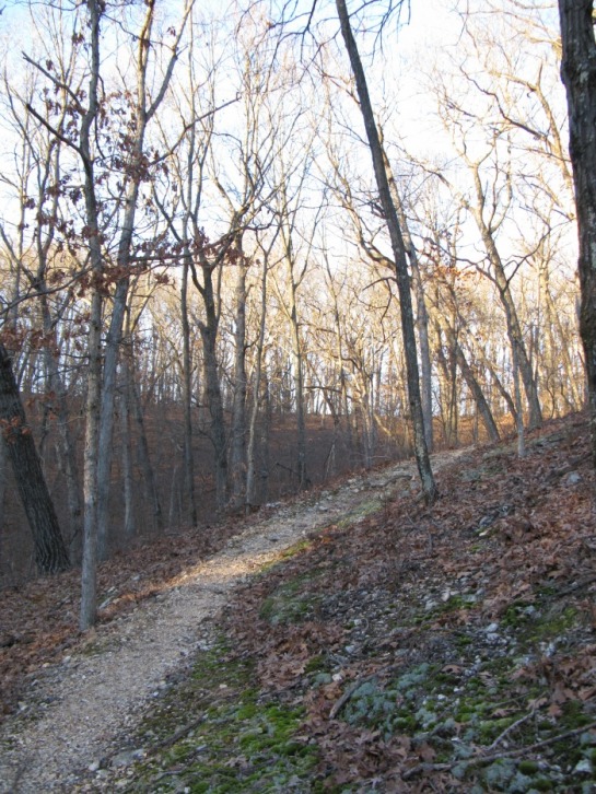
The Lime Kiln Trail is the rockiest, most rugged, and hilly trail in Rockwoods. It gets its name from the massive limestone kiln located at the trailhead. It begins gentle and levels before passing a spring and climbing up a narrow valley. After a series of switchbacks, the trail rolls up and down gently on the ridge. It drops off the end out the ridge and follows the edge of the prairie back to the trailhead.
Scenery: 3 Stars
Difficulty: Moderate
Length: 3.25 miles
The Lime Kiln Trailhead
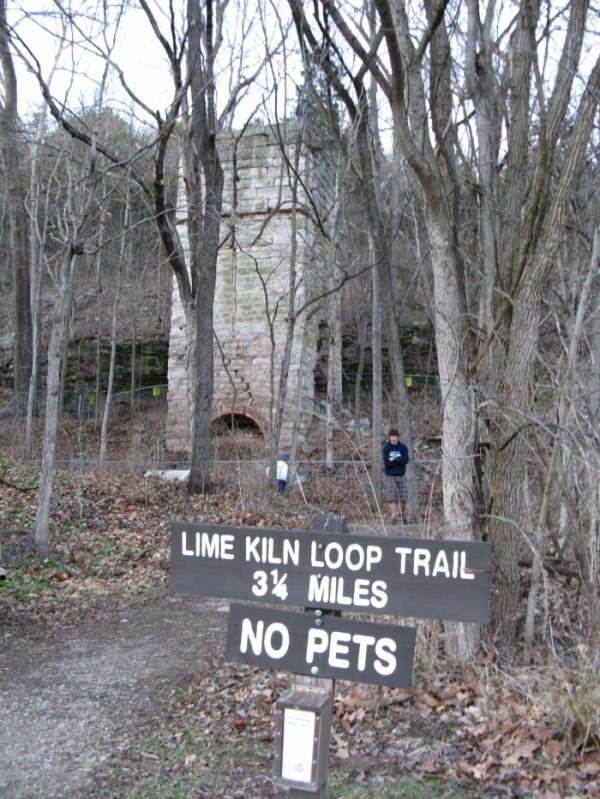
The trail starts at the base of the massive kiln. I will describe the trail in a clockwise direction.
The Creek
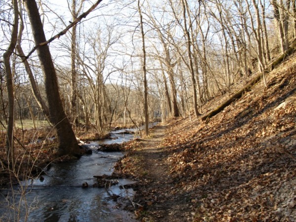
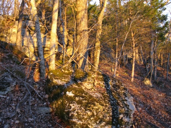
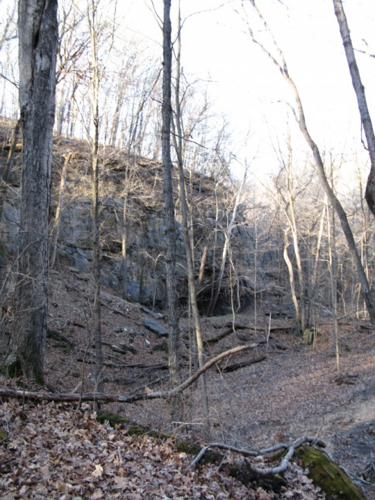
The trail begin as level gravel path through the woods next to Glencoe Road. Soon it is squeezed between a steep, rocky hillside and a bubbling creek. After 3/4 mile it come to the source of this creek. As you cross the outlet of the spring on large steeping stones, look and were the crystal clear water emerges from under the rock ledge.
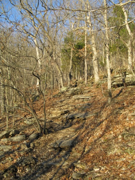
After the spring, the trail climbs steeply over rugged rock steps. Then the trail descends and heads away from the road and deep into a rocky hollow.
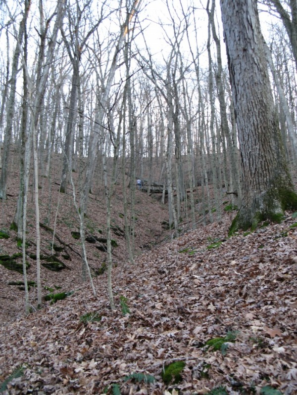
The Switchbacks
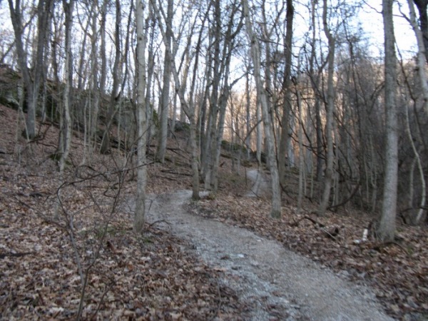
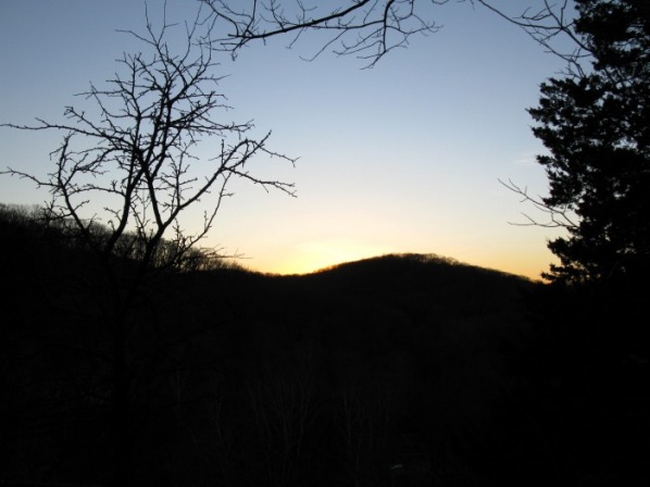
The trail dips down and crosses the dry creek bed and quickly starts to switchback steeply up 150 ft. to the ridge above. From this high ridge line, you can see Hidden Vally's 3 main ski runs.
The Ridge
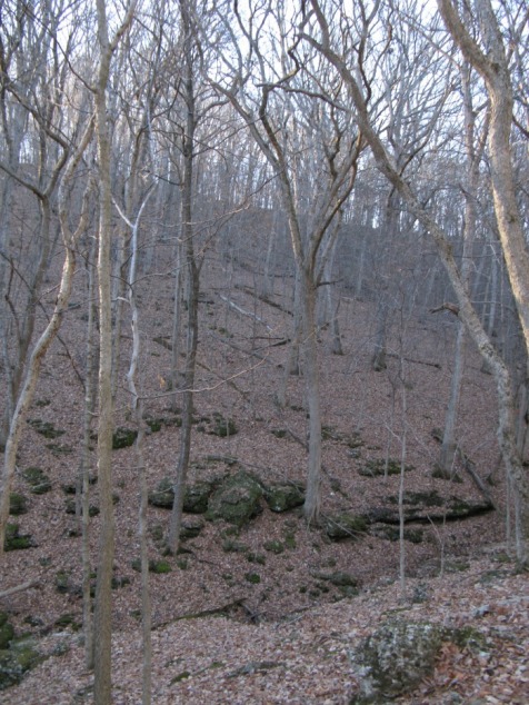
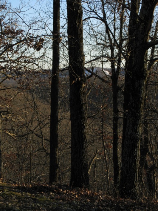
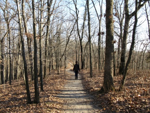
Soon after reaching the ridge, the trail joins an old road and stays mostly level for a mile along this ridge. Every so often you get nice hints of views through the trees.
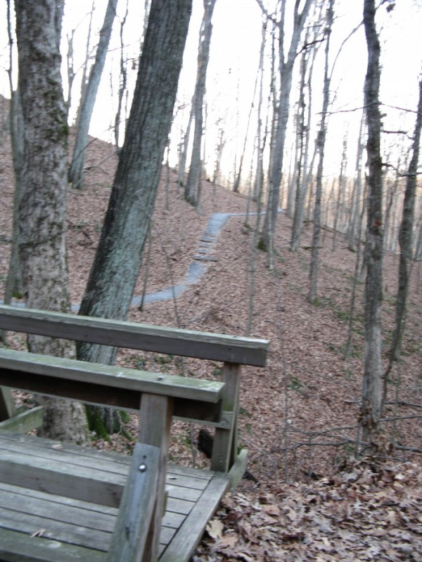
After the level mile, the trail descends a little ways before ascend one last bump on the ridge line. After this bump, the trail descends through a rugged rock layer and follows a band of small cliffs for 200 yards.
The End
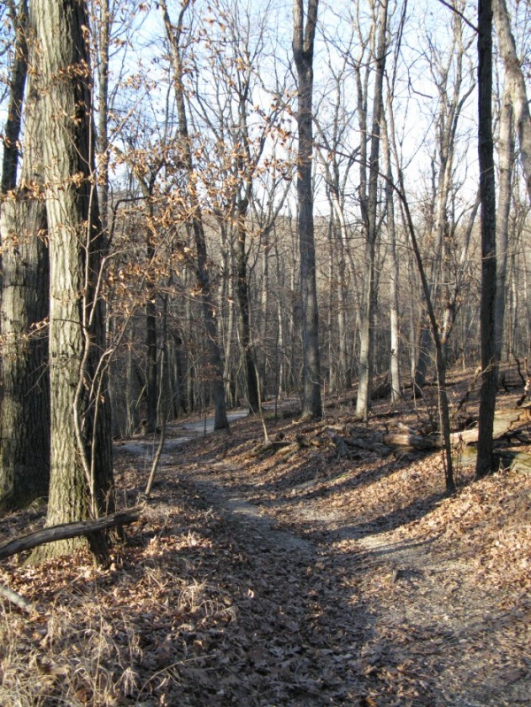
After dropping through the rock layer, the trail switchbacks down through a rocky cedar grove before returning to the Kiln to complete the loop.
Rock Quarry Trail
The Rock Quarry Trail is a wide gravel path that climbs on a breezy ridge before descending into a deep hollow with some mining remnants. The Rock Quarry has a "long" loop that is two miles and a "short" loop that is 1.5 miles.
Scenery: 3 Stars
Length: 2 mile long loop, 1.5 mile short loop
Difficulty: Easy- Moderate
Rock Quarry Trailhead
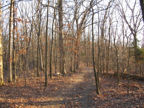
The trailhead for the Rock Quarry Trail is right behind the Visitor Center. Head up the wide, steep, gravel trail. Along its short way up to the ridge, the trail goes up three staircases.
The Ridge
When you reach the trail junction on the ridge, take a right for the 1.5 mile loop. The trail rolls up and down on a gentle ridge with deep hollows on each side.
The Hollow
After going on the ridge for 3/4 of a mile, the trail descends into a deep rocky hollow. The trail follow a small creek down the hollow.
Mining Debris
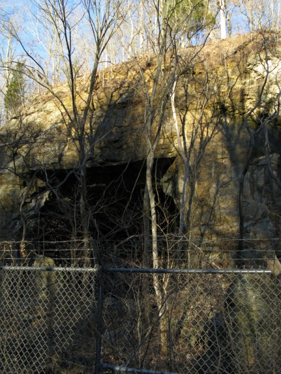
Soon after the trail levels out, you will see a cliff on your left with a deep hole blasted out of its base from the mining company. If you head down one of the small trails to the cliff, you can see the mining debris. Near here, is a tailing pond, an old railroad bed, and crumbling foundations. As you continue on the main trail, you will soon see small trails leading to Cobb Cavern. Cobb Cavern is a massive cave that was blasted out of a hill for limestone. There are nine separate arches that have been created from the blasting. There is a chain link fence with barbwire blocking the entrance to the cavern, but you can walk around the fence for a good view.

The End
After the hollow with all the mining debris, the hike goes along the right side of the road for a quarter of a mile.
Trail Among the Trees Overview
The Trail Among the Trees is a fascinating guided hike that passes many mining relics. It starts in the valley that was once the center of the mining town. When you head up the valley, you will pass many slowly healing scars left from the mining.
Distance: 1.5 mile loop
Scenery: 3 Stars
Difficulty: Moderate
The Trailhead
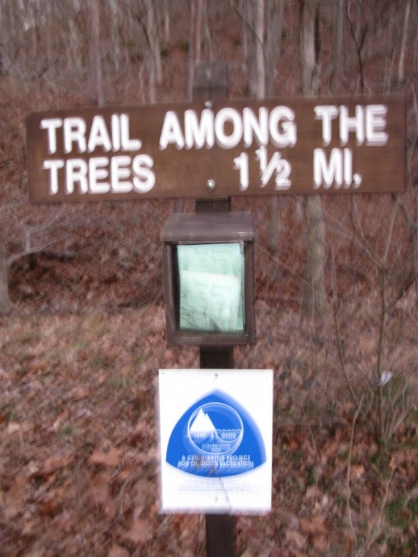
The Trail Among the Trees starts right across Glencoe Road from the Visitor Center. You can grab an interpretive brochure from the little box at the trailhead. The interpretive hike is very interesting. The trail starts out paved, but after going up a 47 step staircase it becomes an unpaved trail.
Mining Ruins
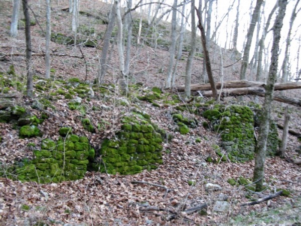
When you walk up this valley, you will see many crumbling, green, mossy foundations next to the trail.
The Staircase
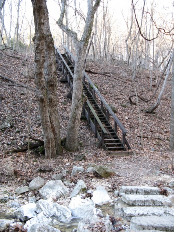
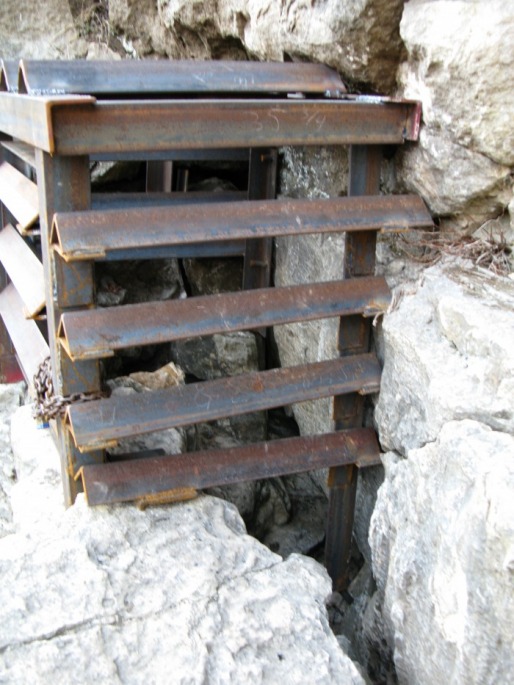
After a short distance, the trail crosses a creek on stepping stones and goes up a 47 step staircase. After the top of the staircase, the trail becomes unpaved. Before going on the trail to the right, take a left and search the bottom of the cliff for a small cave. The cave, Bathtub Cave, is gated to protect the bats inside.
Old Quarries
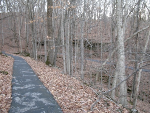
The wide gravel path meanders up near the creek and passes an old quarry on the left. Soon there will be another bluff left from the quarry days. The trail crosses a creek on a bridge and climbs onto the other side.
The trail soon goes down and over a bridge in this ravine. Then it make a long gentle switchback and crosses the ravine higher up.
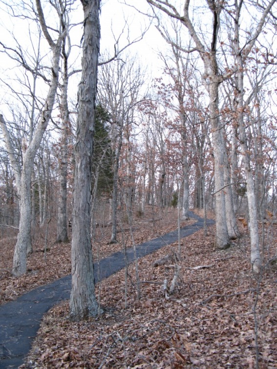
After crossing the ravine the second time, the trail reverts to blacktop. It make a long curving climb to the top of the ridge. If you look across the deep hollow to your left after the old road joins the trail, you will see the switchbacks on the Lime Kiln Trail.
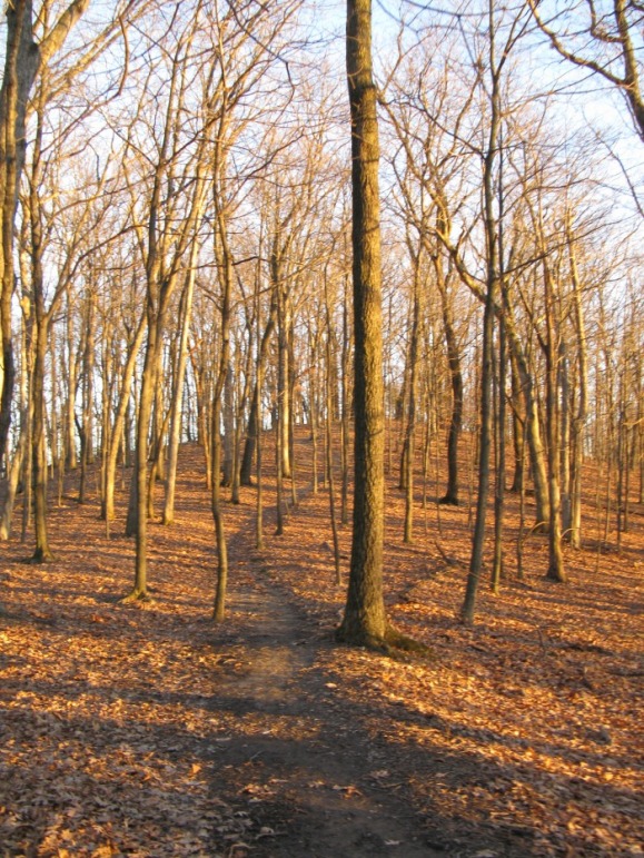
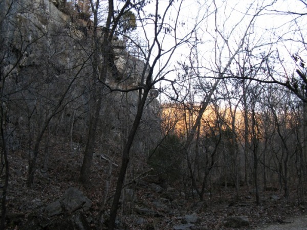
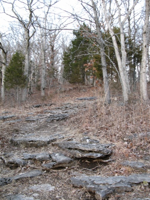
After half a mile on a mostly level ridge line, the trail descends to a rugged glade perched on top of a bluff overlooking the Hamilton Creek. The following pictures are from the glade.
The trail passes a small quarry, returns to pavement, and makes a gradual descent on one side of a small creek. The trail crosses the creek and makes a steady descent to Glencoe Road. To finish the loop, take a right and head back along the road.
Turkey Ridge Trail
T
