Mt. Elbert
Overview
Mt. Elbert is the highest peak in Colorado, and the second highest in the Lower 48. Mt. Whitney, 14,495 exceeds Elbert by 50 ft. Elbert is the highest of the 58 14ers in Colorado. Elbert towers nearly 5,000 ft. above Leadville and the Arkansas River Valley. All routes to the summit are at least 8 miles long with 4,000 ft. of elevation gain. The views from the peak will blow you away.
Scenery: 5 Stars
Difficulty: Very Hard
Length: Standard NorthEast Ridge Route is 9 miles long with 4,900 ft. of elevation gain
The Trailhead
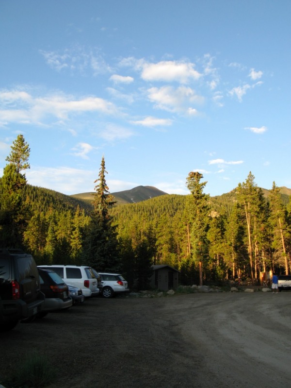
The trailhead for Mt. Elbert is a large gravel parking area with smelly outhouses and an informative display on the Colorado Trail. After several hundred yards cross a small creek on a log bridge.
After the stream crossing, the trail soon passes an old cabin and starts climbing steeply. Once the trail levels out, it decends 200 ft. and comes to a trail junction. Follow the sign to Mt. Elbert. From this trail junction on, the trail steep sections in between gentle or level streches.
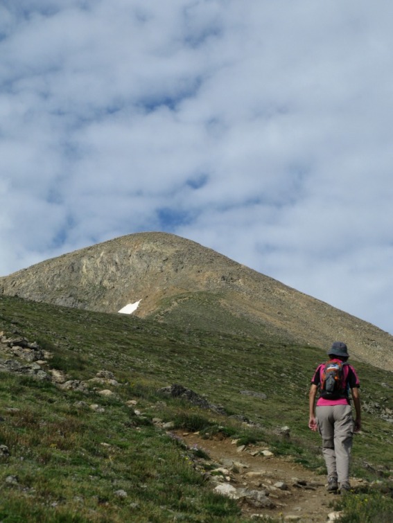
Close to Treeline
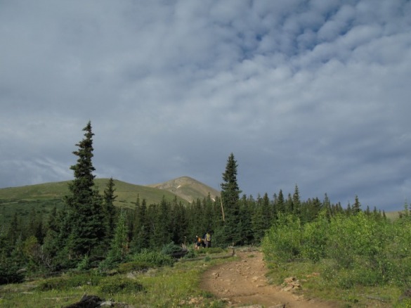
About 1 mile from the trail junction, you come to this large clearing where you can see the summit for the first time since the trailhead. You are less than 1/4 of a mile from tree
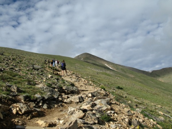
After breaking out of treeline, you will ascend 700 ft. over several switchbacks to the North-East Ridge.
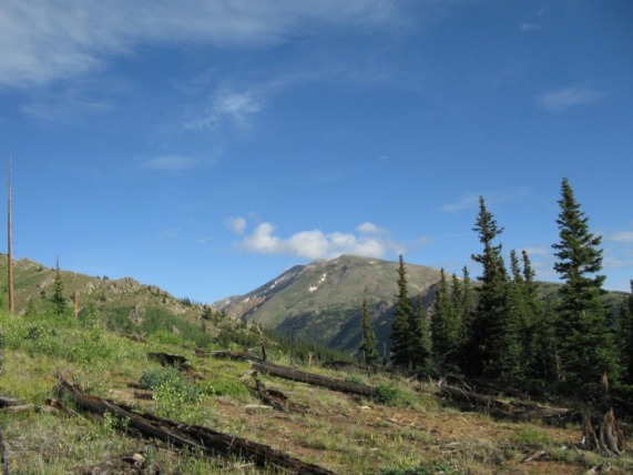
Box Creek Cirque
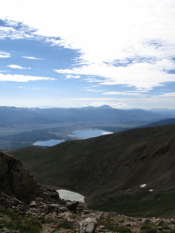
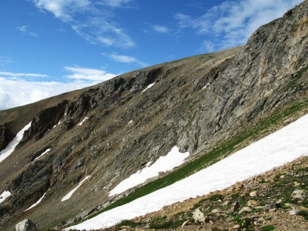
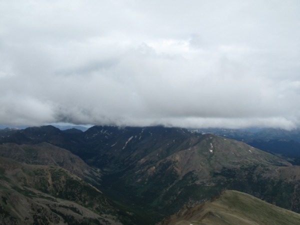
After gaining the ridge, the Twin Lakes come into view. The tiny Box Creek Cirque Lake is far below you. The trail soon becomes much steeper and rockier between 13,300 ft. and 13,900 ft. After the steep, rocky section, you are only 500 easy ft. away from the summit.
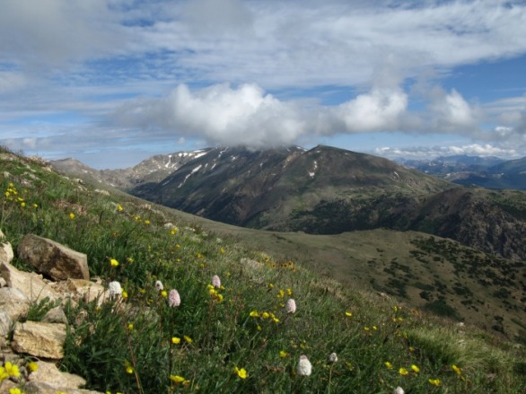
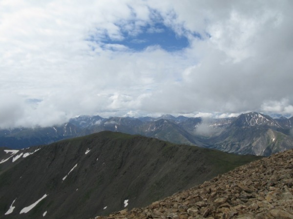
As you near the summit, you can see South Elbert and La Plata Peak. On a clear day, you can even see the Maroon Bells to the northwest.
The Summit

The summit of Mt. Elbert is 14,433 ft. The views are great on the second highest point in the Lower 48.
Summit Panorma from 14ers.com
Route Description from 14ers.com
Trip Reports from 14ers.com
